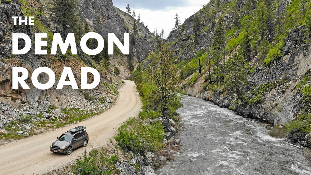
Exploring 100 Miles of the Remote Idaho Backcountry
Автор: SUV RVing
Загружено: 2024-10-26
Просмотров: 36116
Описание:
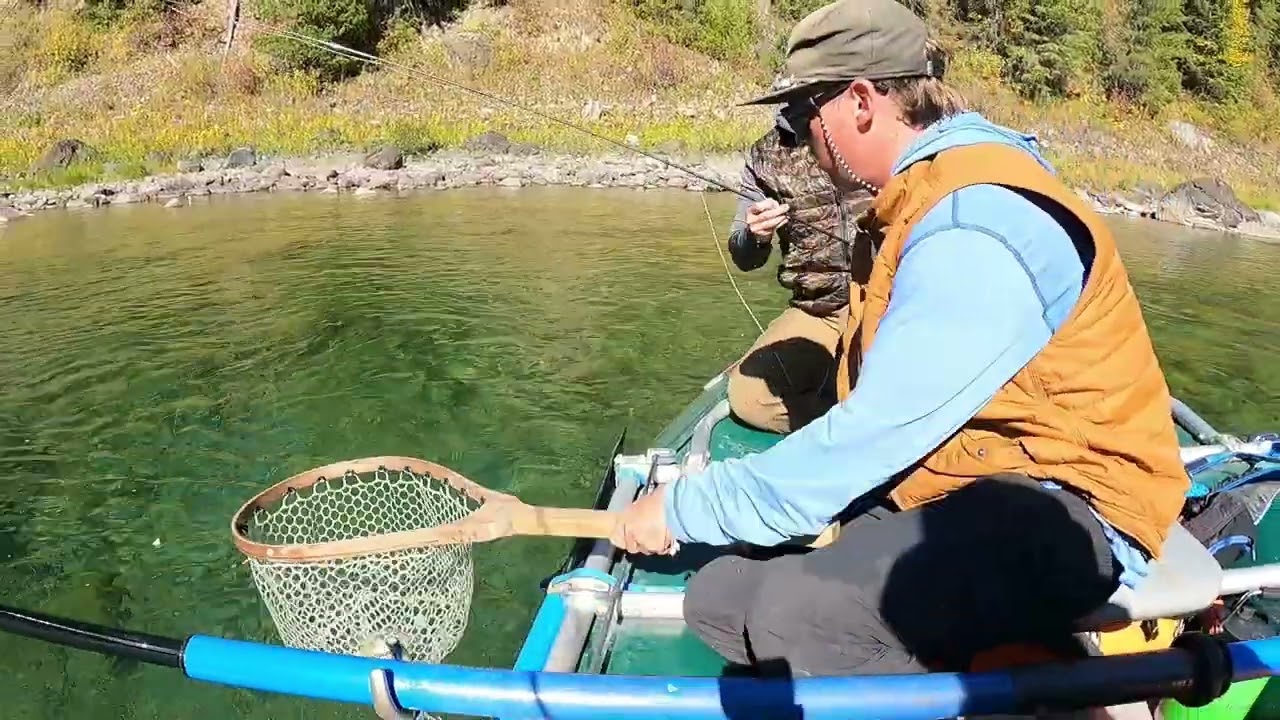
In this video I drive some incredible mountain roads in the remote backcountry of central Idaho and see some interesting stuff along the way that few people check out!
DATE FILMED: Late September 2024
► Adventure Know-How: https://adventureknowhow.com/
► The SUV RVing Website: https://suvrving.com/
► The SUV RVing Facebook Group: / suvrving
GPS COORDINATES & VIDEO LINKS
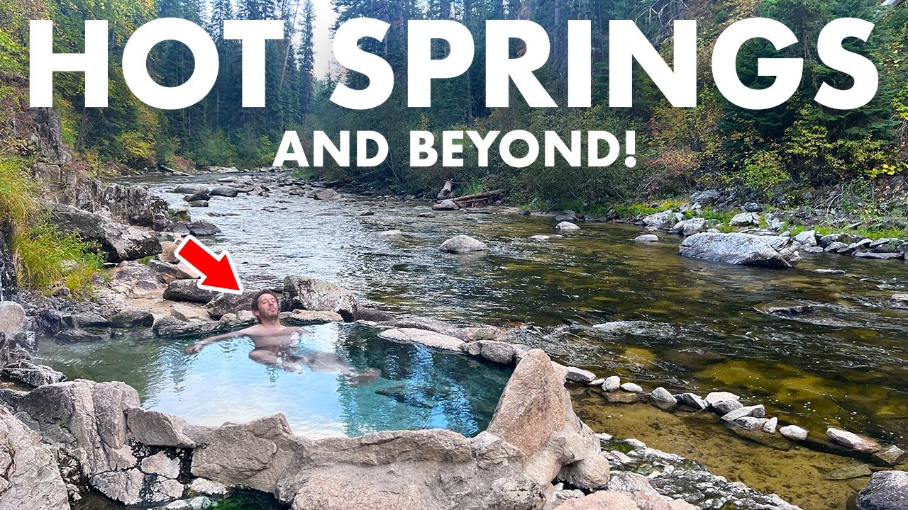
** 16 Mile Hot Spring: 44.84665, -115.69736
** The bridge where I started and ended the loop: 45.01489, -115.71460
** Tea Pot Hot Springs: 44.91360, -115.72256
** Idaho hot springs book: https://amzn.to/4ffjVoL
** Grave: 44.87403, -115.70030
** Campsite: 44.863750, -115.693830
** The bridge: 44.82107, -115.70320
** The park on the lake where I stopped to chat: 44.655277, -115.677067
** The gas can I like: https://amzn.to/48pc4mb
** Ending campsite: 44.98022, -116.17515
THE ROUTE
Starting at the bridge (see coordinates above), I drove south along FSR 474 south to Warm Lake. From there I drove east over Warm Lake Summit (44.64423, -115.58567) to FSR 413 (Johnson Creek Rd; 44.65362, -115.54979) to Yellow Pine. I took the detour from there to near the Yellow Pine Pit but didn't go all the way to the pit because of signage saying I had to check in at the office of the mining operation. From Yellow Pine, I followed the East Fork South Fork Salmon River back to the bridge where I started.
OTHER LINKS
** Gear I use: https://suvrving.com/gear
** SUV RVing the Book: https://amzn.to/2SUrtme (Affiliate link)
** The blog: http://suvrving.com
** Instagram: / suvrving
** My other YouTube channel: / tenkaraaddict
#adventure #travel #camping
Повторяем попытку...
Доступные форматы для скачивания:
Скачать видео
-
Информация по загрузке: