Скачать
Geoprocessing with QGIS 003| Radiometric Correction/Optical Calibration of Satellite Images in QGIS.
Автор: Open Source Remote Sensing & GIS
Загружено: 2021-08-03
Просмотров: 1328
Описание:
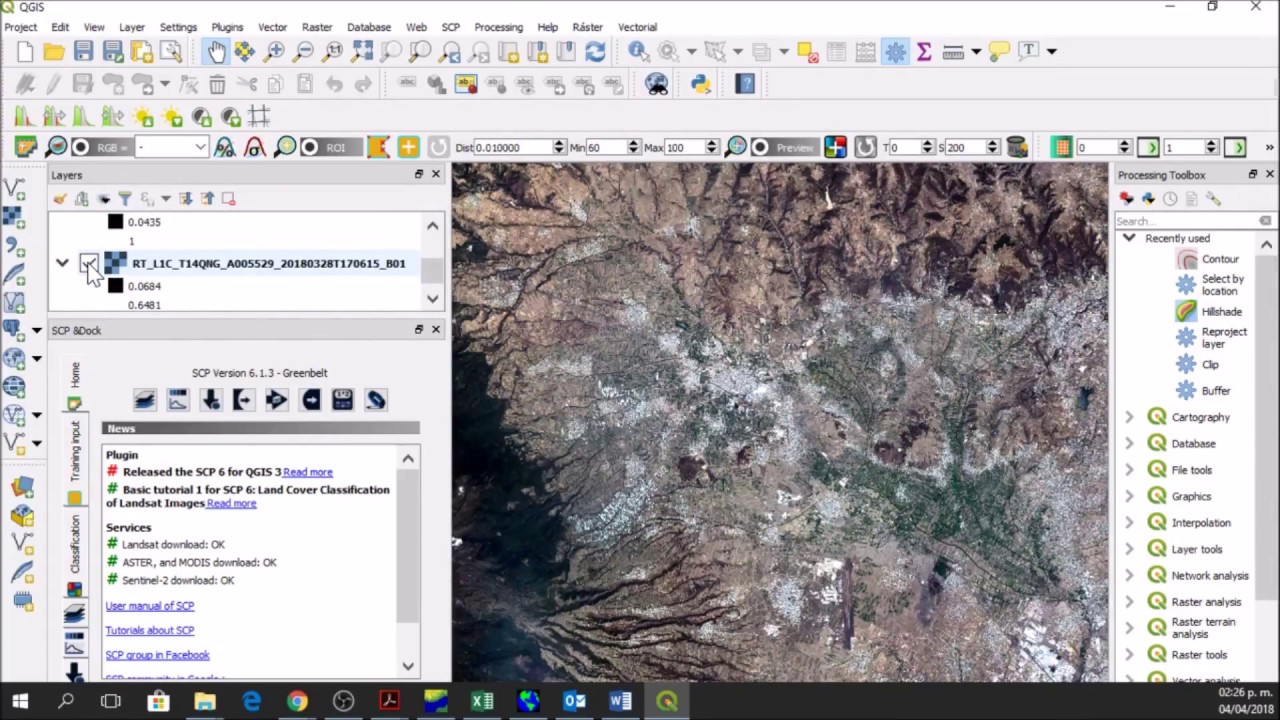
Atmospheric conditions pose significant challenges to optical image acquisition and can negatively influence accuracy of satellite image analysis. This tutorial shows how to implement radiometric correction of atmospheric effects using Dark Object Subtraction (DOS1) and Sen2Cor algorithms in QGIS.
Video on where to download Sen2Cor: • Atmospheric Correction of Sentinel-2 Image...
Не удается загрузить Youtube-плеер. Проверьте блокировку Youtube в вашей сети.
Повторяем попытку...
Повторяем попытку...
Доступные форматы для скачивания:
Скачать видео
-
Информация по загрузке: