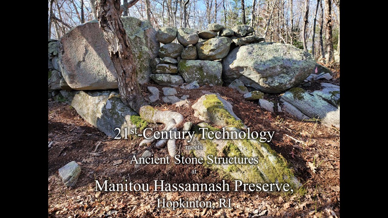
21st Century LiDAR Technology Meets Ancient Stone Structures
Автор: The GeoNAV Group, LLC
Загружено: 2021-03-26
Просмотров: 647
Описание: This video introduces 3D LiDAR scanning and mapping to the ancient stone structures at Manitou Hassannash Preserve in Hopkinton, RI. We used our hand held LiDAR scanner to capture all of the visible features on 2 one-acres parcel of land with 288 documented stone features. Our work supports the efforts to get this property listed on the National Register of Historic Places. At the end of the video you will see our LiDAR data in an ArcGIS project that has Rhode Island's aerial LiDAR data shown as a digital terrain map (DEM). I hope you enjoy seeing how we used cutting edge technology and sophisticated software to map and document these stone features as a 3D digital model and created an accurate "digital twin".
Повторяем попытку...
Доступные форматы для скачивания:
Скачать видео
-
Информация по загрузке: