Georeferencing in ArcGIS Step-by-Step | GIS & Remote Sensing Tutorial | Learn Geography with Shyamal
Автор: Learn Geography with Shyamal
Загружено: 2026-02-27
Просмотров: 29
Описание:
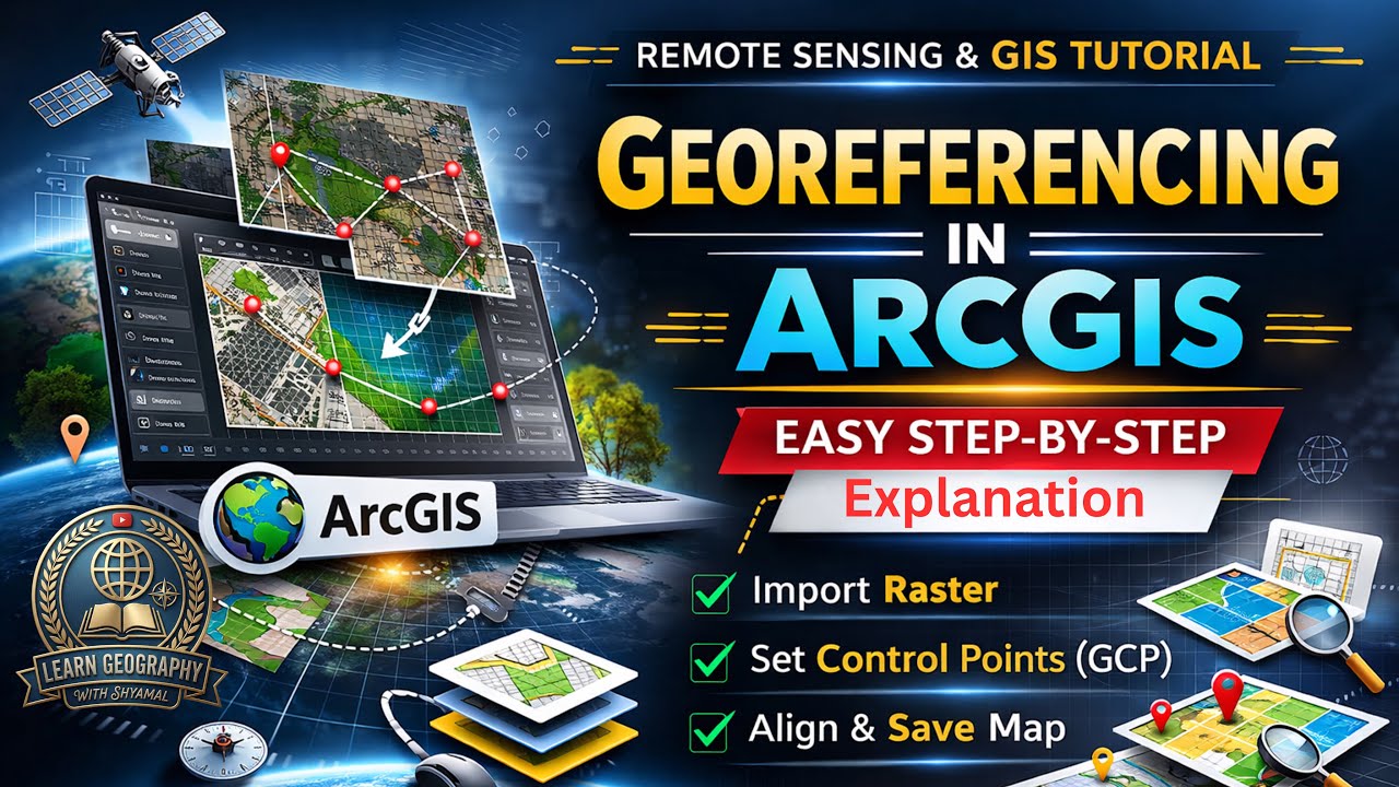
Learn how to perform georeferencing in ArcGIS with this complete step-by-step tutorial in GIS & Remote Sensing. This video explains how to align scanned maps, satellite images, and raster data with real-world coordinates using control points. Perfect for UGC NET Geography, GIS beginners, and students working on mapping, thesis, or research projects.
In this tutorial, you will learn:
• What is georeferencing in GIS
• Types of raster data that need georeferencing
• Adding control points in ArcGIS
• Transformation methods explained
• Rectify and save georeferenced images
• Common errors and practical tips
This video is ideal for UGC NET Geography aspirants, university students, researchers, and GIS beginners who want hands-on ArcGIS skills.
Subscribe for more tutorials on GIS, Remote Sensing, UGC NET Geography, and Research Methods.
⸻
#Georeferencing #ArcGIS #GIS #RemoteSensing #UGCNETGeography #GISForBeginners #ArcGISTutorial #GeographyWithShyamal #LearnGIS #SpatialAnalysis #MapGeoreferencing #GISIndia #GeographyStudents #RSandGIS #DigitalMapping
#learngeographywithshyamal
Повторяем попытку...
Доступные форматы для скачивания:
Скачать видео
-
Информация по загрузке: