Los Angeles California USA - A City Shaped by Basins, Faults, and Coastlines
Автор: Earth Views
Загружено: 2026-02-02
Просмотров: 29
Описание:
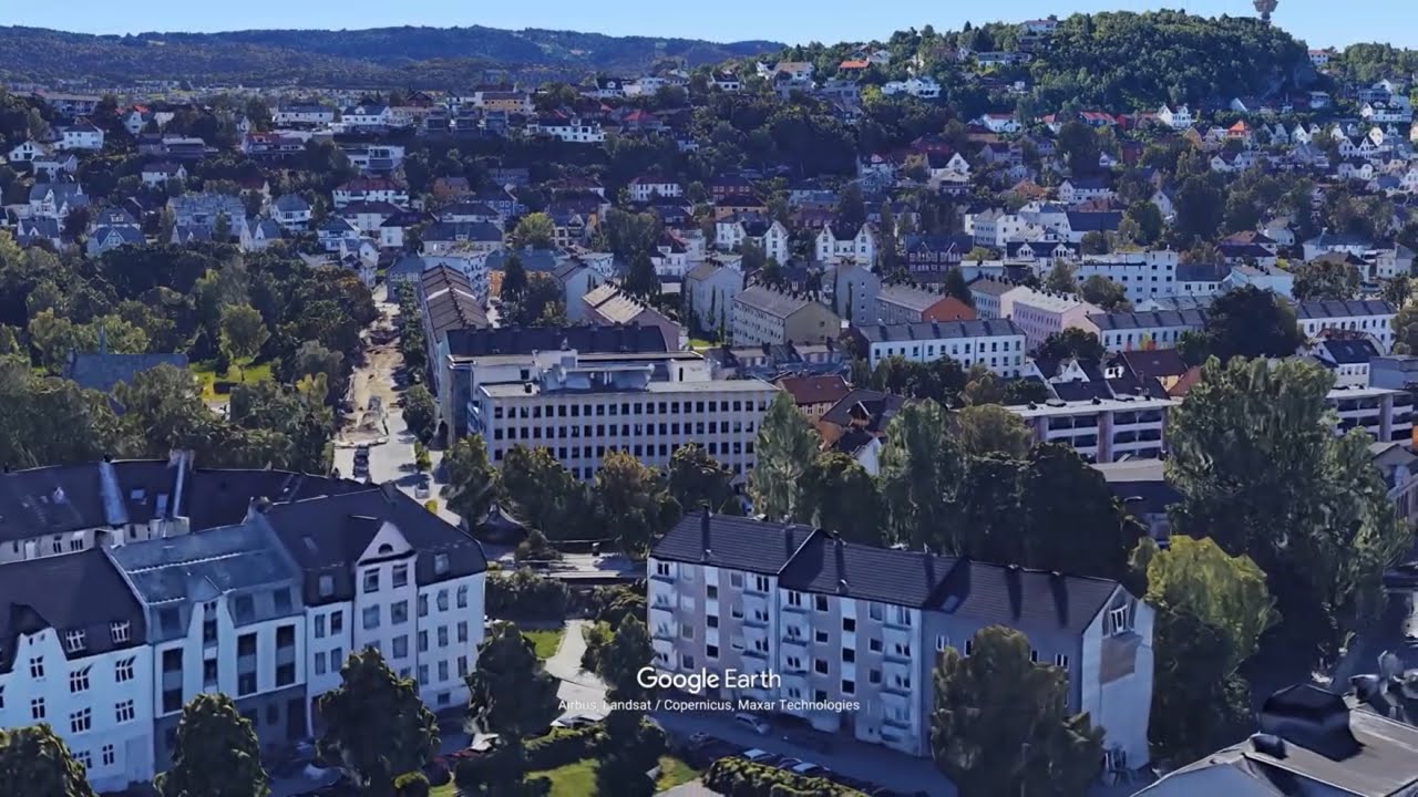
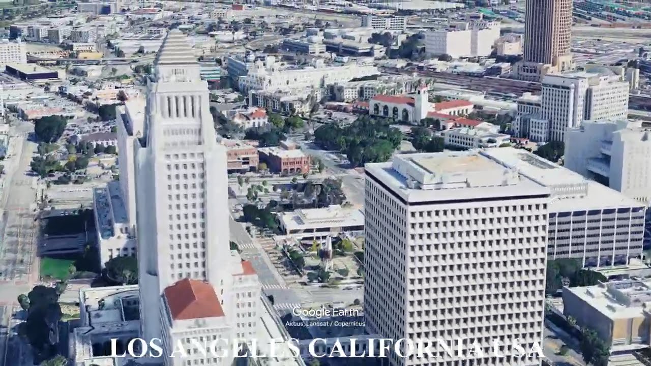
Los Angeles sits within a complex basin bordered by mountain ranges, shaped by tectonic forces, coastal processes, and arid climate conditions. The city’s expansion has been constrained and directed by faults, hills, river systems, and access to the Pacific Ocean, producing a fragmented and horizontally spread urban form.
The Los Angeles Basin is bounded by the Santa Monica Mountains, San Gabriel Mountains, and Santa Ana Mountains, while major fault systems—including the San Andreas Fault—define seismic risk and landform structure. Seasonal rivers, alluvial plains, and coastal plains influenced where early settlement and modern infrastructure developed.
This video uses Google Earth imagery to show how geography shapes cities and sites.
Geography text adapted from Wikipedia, article: Los Angeles,
Licensed under CC BY-SA 4.0
https://en.wikipedia.org/wiki/Los_Ang...
#LosAngeles #California #Geography #UrbanGeography #Cities #GoogleEarth #EarthDiscover #CoastalCities #FaultLines
Повторяем попытку...
Доступные форматы для скачивания:
Скачать видео
-
Информация по загрузке:


![[Full Version] Beverly Hills, Bel Air, Brentwood, Pacific Palisades, Santa Monica, Los Angeles CA](https://imager.clipsaver.ru/YUjGcyXLI3Y/max.jpg)