How to Survey Points, Lines, Arcs, and Polylines in GLA-RTK
Автор: General Laser
Загружено: 2025-03-10
Просмотров: 250
Описание:
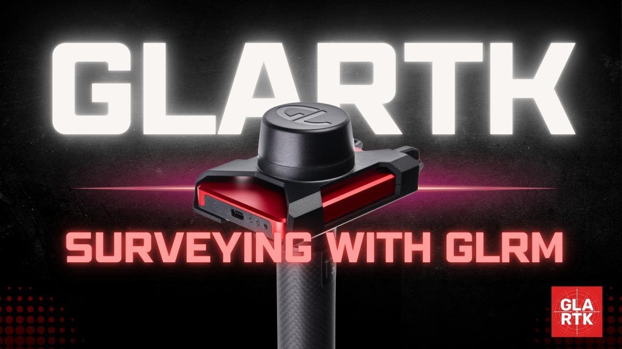
Welcome to GLA-RTK Tutorial Series!
Combine GLA-RTK GNSS app for Android with GLRM RTK receiver - and effortlessly collect points, lines, arcs, and polylines, and calculate areas and volumes.
This tutorial walks you through the entire setup—from your first-use NTRIP configuration to achieving survey-grade precision in the field.
Key features:
✅ Quickly capture and stake points with just a few taps
✅ Use CAD functions
✅ Adapt the app to meet specific project requirements through customizable settings
✅ Use comprehensive coordinate system library (5200+)
✅ Import and export data in multiple formats (CSV, TXT, KML, SHP, DXF).
✅ Easily share survey results and integrate field data into existing workflows
and much more!
Install GLA-RTK now: https://play.google.com/store/apps/de...
Have questions? Reach out to us: [email protected]
Powered by Apglos B.V.
#PrecisionMapping #RTK #GIS #rtkgnss #georeferenced #surveying #geodesy #survey #stakeout #rtkgnssreceiver #rover #innovation #mobile #gnssrtk #gnssreceiver #GeneralLaser #Apglos #GIS #infrastructuremapping #CAD #rtkgnss #GNSSapp
Повторяем попытку...
Доступные форматы для скачивания:
Скачать видео
-
Информация по загрузке:


