Скачать
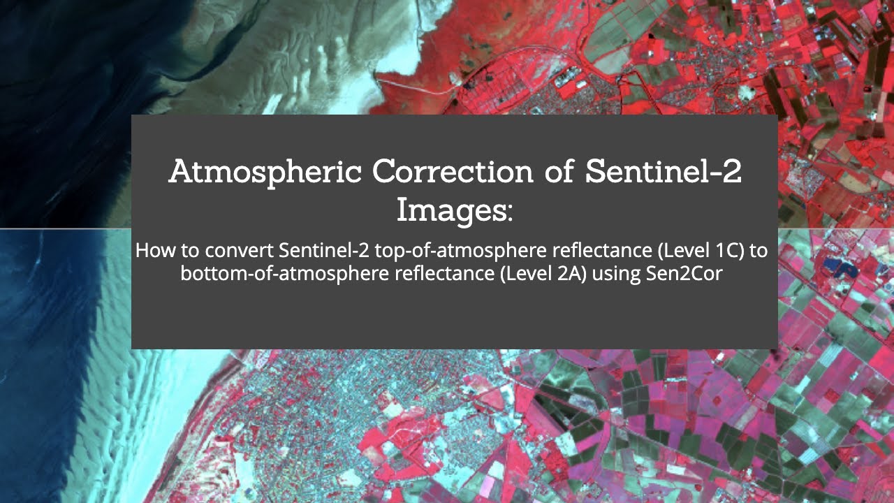
Experto Teledetección con R: Sentinel2 - Conversión Level1 a Level2 con Sen2cor
Автор: Geomatica Ambiental
Загружено: 2022-11-17
Просмотров: 569
Описание:
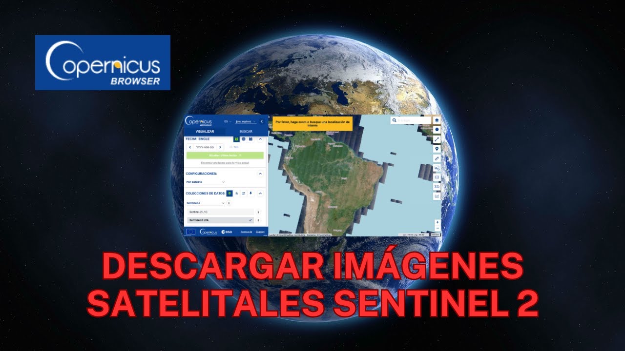
¿Eres nuevo en Teledetección con R? Si es así, ¡estás en el lugar correcto para iniciar! Este curso te ayudará desde cero hasta llegar a ser un experto en R aplicado en Teledetección, realizando procesamiento de imagenes satelital como Landsat, ASTER L1T, MODIS, MDE, CBERS04 y Sentinel-2 mediante correcciones de imágenes como reflectancia de superficie y temperatura de brillo.
Link: https://www.geomatica.pe/cursos/exper...
Не удается загрузить Youtube-плеер. Проверьте блокировку Youtube в вашей сети.
Повторяем попытку...
Повторяем попытку...

Доступные форматы для скачивания:
Скачать видео
-
Информация по загрузке: