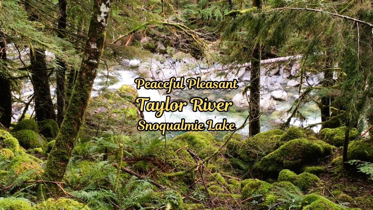
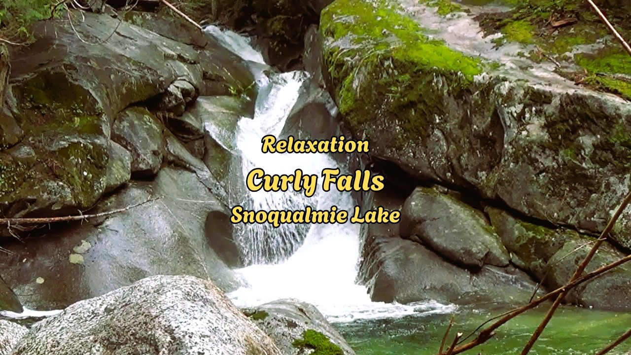
Relaxation Vibes | Curly Falls | Taylor River - Snoqualmie Lake Trail | Washington State
Автор: Wilderness Journeys Resonance
Загружено: 2026-02-17
Просмотров: 2
Описание:
This Trail is more of a walk in the woods rather than strenuous hiking. Most people had their dogs with them. A dog's paradise! Extra wide trail/forest service road for dogs and their owners to walk side-by-side! There's plenty of beautiful spots to explore along the way!
It's been a minute since my last journey here. My destination was only to go to the Marten Creek Bridge (about 2 miles in} towards Snoqualmie lake. My purpose was to check out the impacts from the latest flooding event. My how things had changed. This trail in my opinion is very pleasant and peaceful.
From WTA:
Visit this large, quiet lake in the heart of the Alpine Lakes Wilderness. Snoqualmie is accessible both via Highway 2 and the Middle Fork Snoqualmie Road. From the trailhead on Highway 2, it's 7.3 miles to Snoqualmie Lake, and from the Middle Fork Road, it's 7.5 miles. You can even make this a thru-hike if you can arrange a pick-up at the other end.
If you're coming from the Middle Fork Road, drive 13 miles to the end of the road and park in a large lot just in front of the gate. Starting from this area, admire the wide Taylor River as you cross a paved bridge. Pass a couple of dispersed camping sites and come to a junction with the Quartz Creek trail branching off to the left at about 0.5 miles. Keep to the right, staying on a relatively flat, rocky trail that heads through quiet forest. Moss-laden birches, western redcedars, and western hemlocks tower over you.
Along the trail, Taylor River rushes past you, and craggy Garfield Peak plays hide-and-seek through the trees. Near a creek crossing, the forest opens up, offering hikers a glimpse of a spire of Treen Peak.
Five and half miles from the parking area for this trailhead, arrive at a fork. From the trailhead to this fork is an elevation gain of about 800 feet. The righthand trail is a very brushy trail to Nordrum Lake in 2.5 miles. However, your destination is up the left-hand trail for 2 miles and an elevation gain of about 1,300 feet. Continue along the side of the river valley, crossing several feeder creeks and waterfalls, before arriving at a campsite on the northern shores of Snoqualmie Lake.
If you've decided to approach from Highway 2, you'll find the trail generally in good condition, with many sections stabilized by carefully assembled log cribs. It's about 1.9 miles to Lake Dorothy, with an 800-foot elevation gain. From there, head to Bear Lake. Here, the trail begins to climb along the hillside, taking you above the lake. You'll gain 700 feet in 1.6 miles, on sometimes rough trail to reach the pass to Bear Lake. But the way is eased by occasional enjoyable views down to Lake Dorothy.
A short way beyond the pass Bear Lake can be seen glinting through the trees. It's a half mile with a drop of 200 feet to get down to the western shore of the lake. Deer Lake is not far away. It's only 30 feet lower than Bear Lake, and at one point along the trail, bits of both lakes will be visible through the trees.
Once you've made it around the southern shores of Deer Lake, Snoqualmie Lake is just under a mile away. There is a campsite just before you arrive at the lake, but if you want to be on the lake, press on to the one lying on the north shore of the large, quiet lake. #asmr #relaxation #nature #forest
Повторяем попытку...
Доступные форматы для скачивания:
Скачать видео
-
Информация по загрузке: