ycliper

Популярное

Музыка Кино и Анимация Автомобили Животные Спорт Путешествия Игры Юмор

Интересные видео

2025 Сериалы Трейлеры Новости Как сделать Видеоуроки Diy своими руками

Топ запросов

смотреть а4 schoolboy runaway турецкий сериал смотреть мультфильмы эдисон
Скачать

ArcSwat Tutorial 3 - HRU 3 Slope

Автор: SpierWIUClasses

Загружено: 2013-07-31

Просмотров: 18643

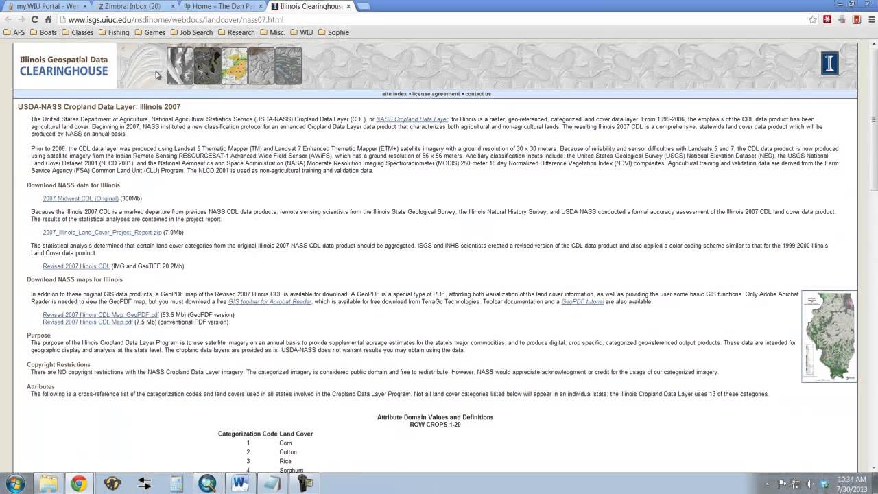
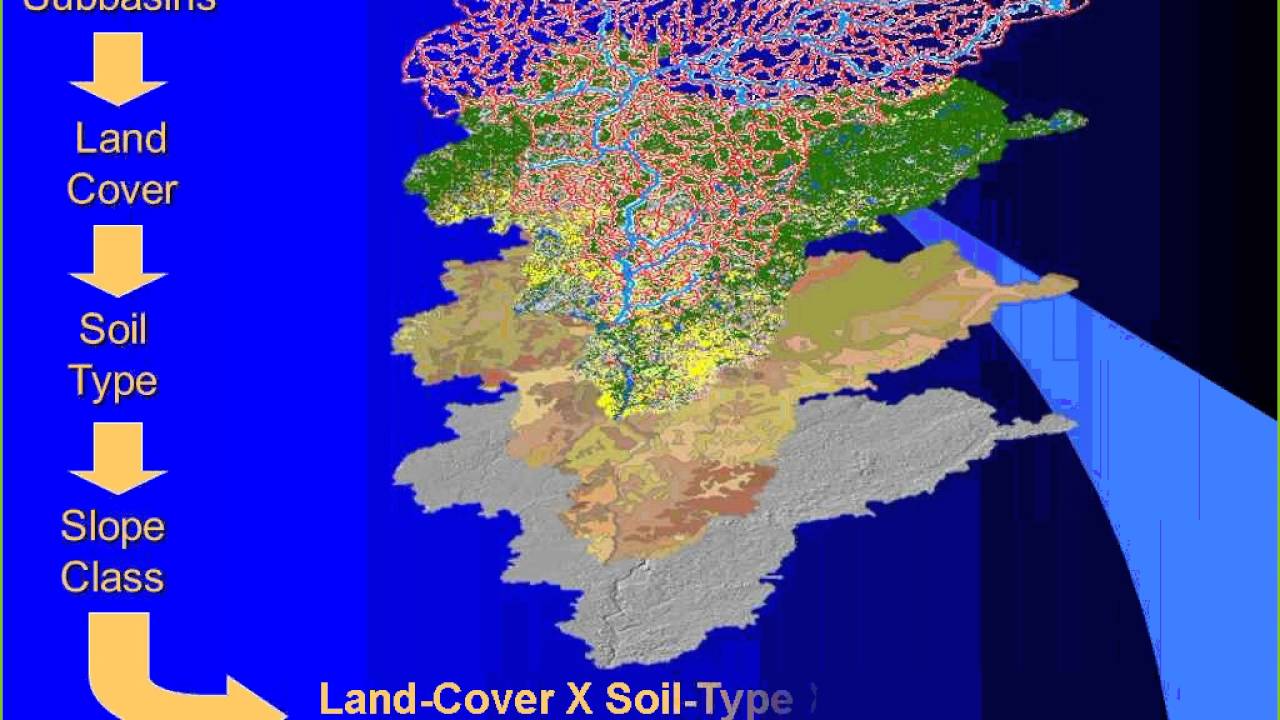
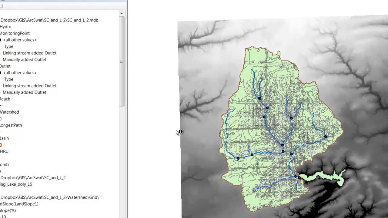
Описание: The final step in defining HRU's is to classify the slopes. Note that the model already has elevation data in it, so it already can calculate the slopes. However, we don't want to use every individual value of slope in the model because that would be unnecessarily complicated. Instead, in this step, we determine how many classes or "bins" of slope we want to use, and then we define those classes.

Не удается загрузить Youtube-плеер. Проверьте блокировку Youtube в вашей сети.
Повторяем попытку...
ArcSwat Tutorial 3 - HRU 3 Slope

Поделиться в:

Доступные форматы для скачивания:

Скачать видео

  • Информация по загрузке:

Скачать аудио

Похожие видео

ArcSwat Tutorial 3 - HRU 1 Land Use

ArcSwat Tutorial 3 - HRU 1 Land Use

Introduction to QSWAT (Part1)

Introduction to QSWAT (Part1)

SWAT: Soil and Water Assessment Tool

SWAT: Soil and Water Assessment Tool

ArcSwat

ArcSwat

ArcSwat Tutorial 3 - HRU 2 Soil Type

ArcSwat Tutorial 3 - HRU 2 Soil Type

FishTracker Tutorial 2 - Working with ArcGIS

FishTracker Tutorial 2 - Working with ArcGIS

ArcSwat Tutorial 2 - Watershed Delineation

ArcSwat Tutorial 2 - Watershed Delineation

SWAT-CUP Tutorial (1): Introduction to Model Calibration

SWAT-CUP Tutorial (1): Introduction to Model Calibration

Land use Map for SWAT Model- Maximum Likelihood Classification ENVI

Land use Map for SWAT Model- Maximum Likelihood Classification ENVI

7 GOLI W PARYŻU! POTĘŻNE PSG ROZBIJA CHELSEA! PSG - CHELSEA, SKRÓT MECZU

7 GOLI W PARYŻU! POTĘŻNE PSG ROZBIJA CHELSEA! PSG - CHELSEA, SKRÓT MECZU

ArcSWAT

ArcSWAT

SWATCUP Tutorial 4(1): Calibration of a snow-mountain watershed

SWATCUP Tutorial 4(1): Calibration of a snow-mountain watershed

Представляем Digital Optimus: смелое новое видение Илона Маска в области искусственного общего ин...

Представляем Digital Optimus: смелое новое видение Илона Маска в области искусственного общего ин...

Class Tutorial 05 - Time and Date in Excel

Class Tutorial 05 - Time and Date in Excel

SWAT Output Spatial Visualization

SWAT Output Spatial Visualization

Soil map and lookup table preparation for HRU analysis in Arc SWAT model

Soil map and lookup table preparation for HRU analysis in Arc SWAT model

Weather generator for arc SWAT Database (Please subscribe)

Weather generator for arc SWAT Database (Please subscribe)

Video Tutorial del uso del Modelo SWAT en Costa Rica NASA DEVELOP

Video Tutorial del uso del Modelo SWAT en Costa Rica NASA DEVELOP

Watersheds Delineation using ArcSWAT || ArcSWAT Tutorial || Video-1

Watersheds Delineation using ArcSWAT || ArcSWAT Tutorial || Video-1

How to extract the erodibility factor K using the FAO data( HWSD)

How to extract the erodibility factor K using the FAO data( HWSD)

© 2025 ycliper. Все права защищены.


  • Контакты
  • О нас
  • Политика конфиденциальности


Контакты для правообладателей: [email protected]