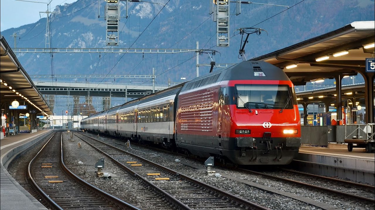
Switzerland walk +bus ride: Interlaken West Bahnhof to Interlaken Ost Ferry Terminal
Автор: Boy d Xplorer
Загружено: 2023-10-25
Просмотров: 703
Описание:
Please click below link for more videos. Subscribe, like, share & comment. Thanks!
• SWITZERLAND TOUR
■ INTERLAKEN:
Interlaken is a Swiss town and municipality in the Interlaken-Oberhasli administrative district in the canton of Bern. It is an important and well-known tourist destination in the Bernese Oberland region of the Swiss Alps, and the main transport gateway to the mountains and lakes of that region.
The town is located on flat alluvial land called Bödeli between two lakes, Brienz to the east and Thun to the west, and alongside the river Aare, which flows between them. Transport routes to the east and west alongside the lakes are complemented by a route southwards into the near mountain resorts and high mountains, e.g. the famous high Alpine peaks of Eiger, Mönch, and Jungfrau, following upwards the Lütschine.
Interlaken is the central town of a Small Agglomeration with the same name of 23,300 inhabitants.
The official language of Interlaken is German, but the main spoken language is the local variant of the Alemannic Swiss German dialect, Bernese German.
Interlaken is located at 566 m (1,857 ft) above sea level, between Lake Brienz to the east and Lake Thun to the west on the alluvial land called Bödeli. The town takes its name from its geographical position between the lakes (in Latin inter lacus). The Aare flows through the town from one to the other lake, whilst the Lütschine flows from the mountains from the south into Lake Brienz however not running through the municipality of Interlaken.
The municipality of Interlaken has an area of 4.27 km2 (1.65 sq mi). Of this area, 1.05 km2 (0.41 sq mi) or 24.4% is used for agricultural purposes, while 0.97 km2 (0.37 sq mi) or 22.6% is forested. Of the rest of the land, 2.03 km2 (0.78 sq mi) or 47.2% is settled (buildings or roads), 0.3 km2 (0.12 sq mi) or 7.0% is either rivers or lakes and 0.01 km2 (2.5 acres) or 0.2% is unproductive land.
Of the built-up area, industrial buildings made up 5.3% of the total area while housing and buildings made up 21.4% and transportation infrastructure made up 16.0%. while parks, green belts, and sports fields made up 4.0%. Out of the forested land, 20.9% of the total land area is heavily forested and 1.6% is covered with orchards or small clusters of trees. Of the agricultural land, 6.5% is used for growing crops and 16.3% is pastures, while 1.6% is used for orchards or vine crops. All the water in the municipality is flowing water.
Interlaken has a rather mild warm summer humid continental climate (Köppen climate classification Dfb) when 0 °C (32.0 °F) isotherm is used. However, if −3 °C (26.6 °F) isotherm is used, then the climate is temperate oceanic (Köppen climate classification Cfb). The climate in this area has mild differences between highs and lows, and there is adequate rainfall year-round.
Closer to Interlaken, the Harderkulm (1,321 m (4,334 ft), just to the north of the town, and the Schynige Platte (1,967 m (6,453 ft), just to the south, are also accessible by railway and provide extensive views of the higher mountains. Lake Thun and Lake Brienz are both close to the town, and the Aare flows east to west through the town. Boat trips operate on both lakes, serving various lakeside towns. One of these, Brienz, is the starting point for one of Switzerland's last remaining steam operated mountain railway, the Brienz Rothorn Railway.
■ REFERENCE:
https://en.wikipedia.org/wiki/Interlaken
https://www.google.com/maps/place/Int...
https://www.google.com/maps/place/Int...
#switzerland #swiss #swissbeauty #autumn #nature #travel #bus #busride #walk #explore
■ REMARKS:
Please don't forget to like, share, SUBSCRIBE and leave a comment to my channel and click "ON" the notification bell for the latest video updates. Thanks! 👍👀
Повторяем попытку...

Доступные форматы для скачивания:
Скачать видео
-
Информация по загрузке:

![★ 4K 🇨🇭 Spiez - Interlaken Ost cab ride [06.2023] Switzerland Führerstandsmitfahrt Thunersee](https://imager.clipsaver.ru/Oy5MT7tUq1M/max.jpg)