Скачать
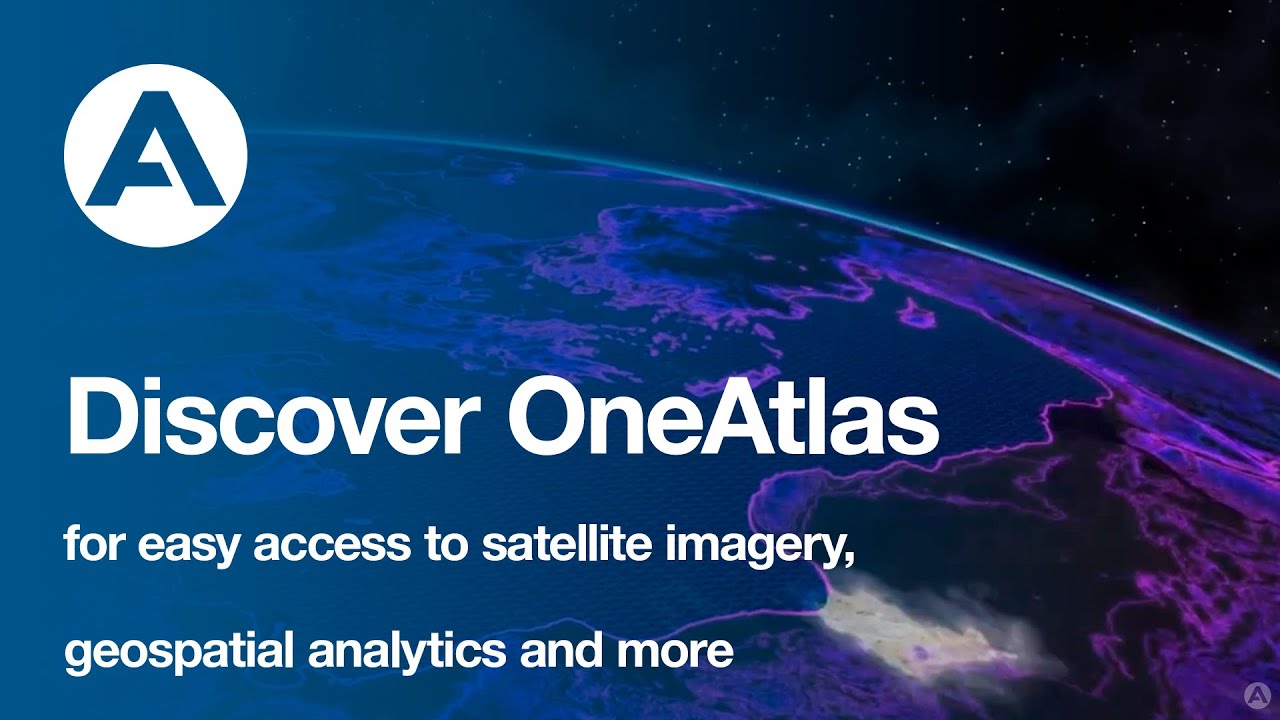
Plug and play with OneAtlas APIs - Designed to Integrate Satellite Imagery, Data and Analytics
Автор: Airbus Defence and Space
Загружено: 2020-11-17
Просмотров: 959
Описание:
OneAtlas APIs are designed to help you build new applications. Flexible APIs allow you to search, download and stream satellite imagery that are available in several protocols.
➡️ Learn more about our APIs and how you can integrate them into your own application: oneatlas.airbus.com
#OneAtlas #SatelliteImagery #GIS #APIs
Не удается загрузить Youtube-плеер. Проверьте блокировку Youtube в вашей сети.
Повторяем попытку...
Повторяем попытку...

Доступные форматы для скачивания:
Скачать видео
-
Информация по загрузке:


![Тестирование API простыми словами + практика | Postman, Connekt, HTTP [Полный ГАЙД с 0 до Senior]](https://imager.clipsaver.ru/TXUyoVP9CpA/max.jpg)