California State Route 142 - East
Автор: Vidlea
Загружено: 2026-03-09
Просмотров: 220
Описание:
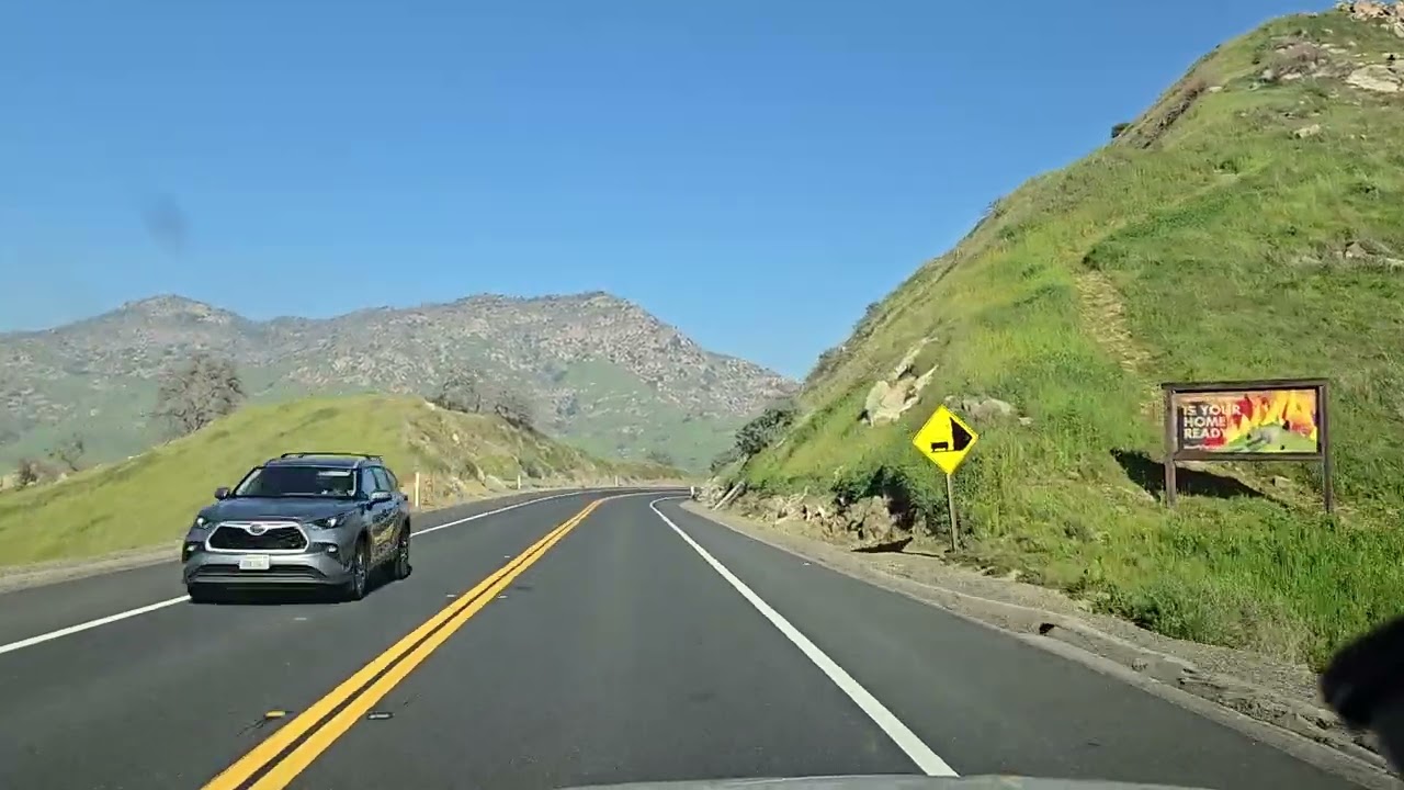
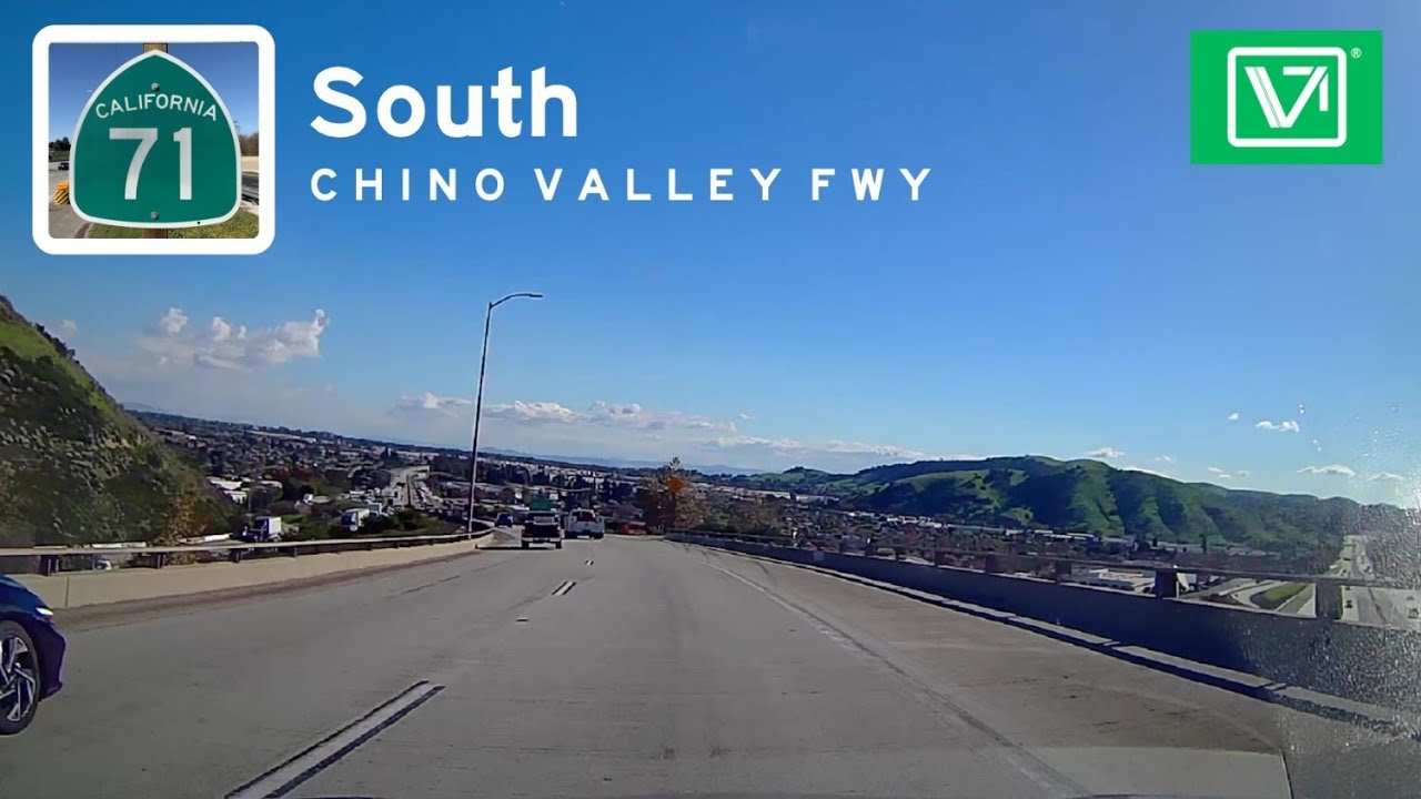
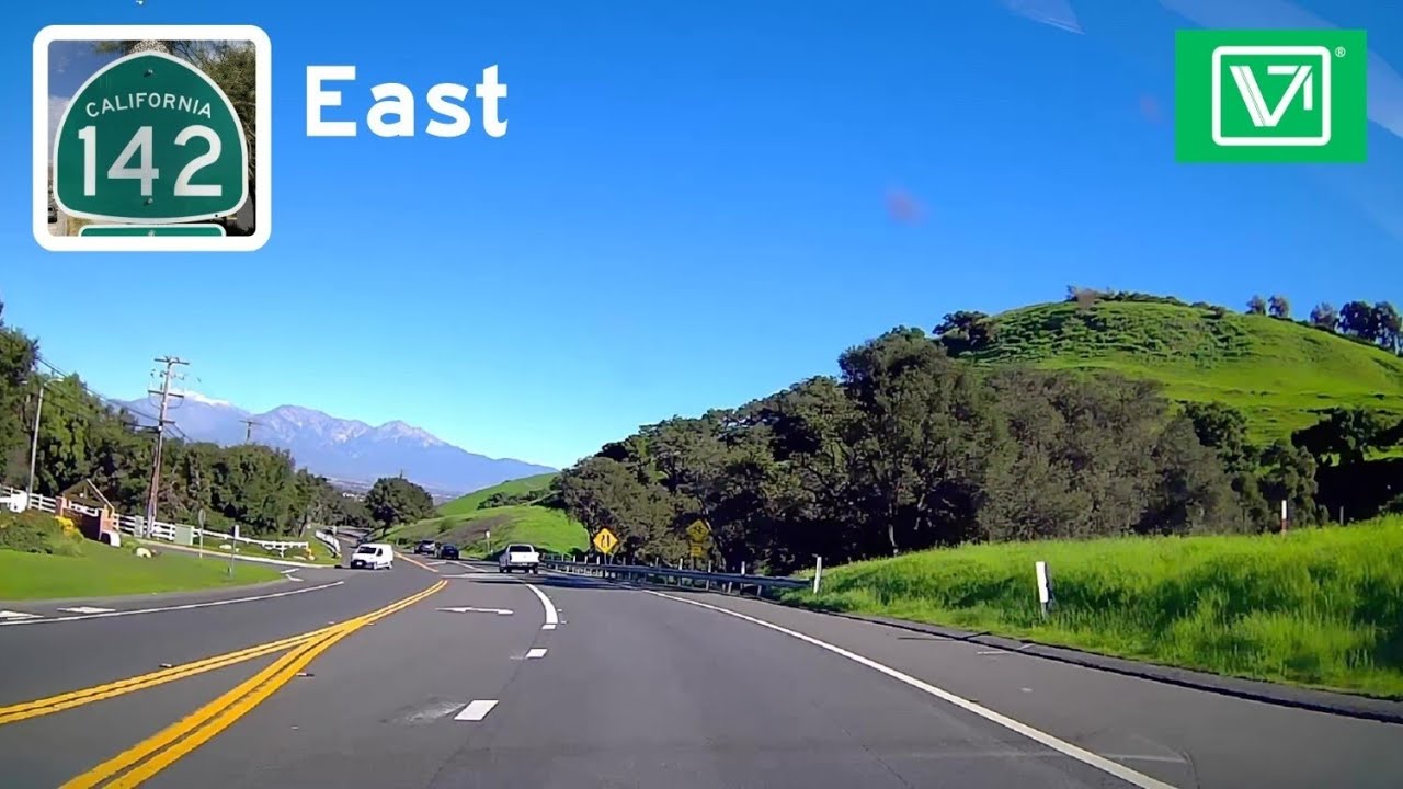
CA-142, also known as Carbon Canyon Road, is a 26.0-mile (41.8 km) long state highway that connects Orange County to Chino Valley in Southern California. Its Primary Role is A vital east-west commuter alternative and a scenic regional connector between Orange and San Bernardino counties. It transitions from a multi-lane urban road to a narrow, two-lane state scenic highway through the canyon, then back to an urban road. It's Western Terminus at CA-90 in Yorba Linda. CA-142 Briefly overlaps with Valencia Ave before Turning Right to become Carbon Canyon Rd. it Passes through Carbon Canyon Regional Park (home to OC's only coastal redwood grove) and the community of Sleepy Hollow. it Winds through Chino Hills State Park. Tight curves; not recommended for large trucks. CA-142 Turns Right to Chino Hills Parkway through residential areas. CA-142 Ends at an interchange with SR-71. The road continues eastward as Chino Hills Parkway beyond the highway terminus.
Length: 11.8 miles
Drivetime: 20 min
Повторяем попытку...
Доступные форматы для скачивания:
Скачать видео
-
Информация по загрузке: