山の全体像が見えてくる!地形図の準備方法|ルート・等高線を描く
Автор: Kushiro Trek & Guide 公式チャンネル
Загружено: 2026-01-23
Просмотров: 23
Описание:
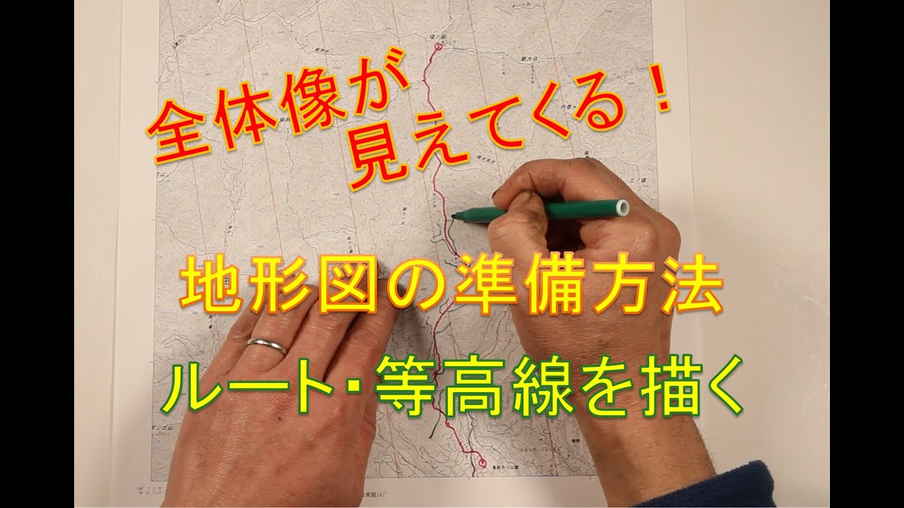
この動画では、登山前の「地形図の予習」に焦点を当て、実際に登るルートと等高線を地形図に書き込む基本的な準備方法を解説します。
地北線を引いた地形図をベースに、赤線で登山ルートを明確にし、さらにルートを横切る等高線を一定間隔で描くことで、斜度の変化や地形の特徴を事前に読み取る方法を紹介。
この作業を行うことで、登山前から山の全体像がイメージできるようになります。
登山前日は忙しい方向けに、短時間でできるシンプルかつ実践的な方法を、実際の地形図を使いながらわかりやすく説明しています。
これから地形図を活用した登山を始めたい方や、山をより深く理解して楽しみたい方におすすめの内容です。
Seeing the Whole Mountain
How to Prepare a Topographic Map | Drawing Routes and Contour Lines
In this video, we focus on topographic map preparation before a hike, explaining a simple and effective method for drawing your planned route and contour lines on the map.
Using a topographic map with north lines already drawn, you will learn how to mark the hiking route clearly in red and add evenly spaced contour lines that cross the route.
This process helps you understand changes in terrain and key landform features before you go into the mountains.
By doing this preparation, you can visualize the overall shape and structure of the mountain in advance, rather than reacting to the terrain during the hike.
Designed for hikers who are short on time before a trip, this video introduces a quick, practical, and realistic method using an actual topographic map.
This content is recommended for those who want to start using topographic maps in their hiking practice, as well as for anyone who wants to understand mountains more deeply and hike with greater confidence.
Повторяем попытку...
Доступные форматы для скачивания:
Скачать видео
-
Информация по загрузке: