Severe Thunderstorm Outbreak, Supercells in Vermont, June 23, 2024
Автор: Brett.storm12weather
Загружено: 2024-08-15
Просмотров: 3754
Описание:
On June 23, 2024, a progressive upper-level shortwave trough moved into the eastern Great Lakes region, amplifying as it did so. Just ahead of this feature and within the left-exit region of a jet streak, a surface cyclone deepened to about 990 mb over southern Quebec by that evening.
Ahead of this cyclone, strengthening southerly flow pushed a warm front northward into northeast Vermont. This placed much of the state within the warm sector. In this region, moderate instability combined with mid-level winds of over 50 kts, allowed for storm organization. Additionally, both speed and directional shear occurred in the low to mid levels with substantial veering of winds with height, especially just south of the warm front. As a result, shear profiles favored cyclonic, right turning supercells.
The Storm Prediction Center placed much of Vermont under an enhanced risk of severe weather with a 10% tornado risk for the day, which is quite rare for New England. Considering the setup, I decided to risk chasing in the rather difficult terrain of central and southern Vermont.
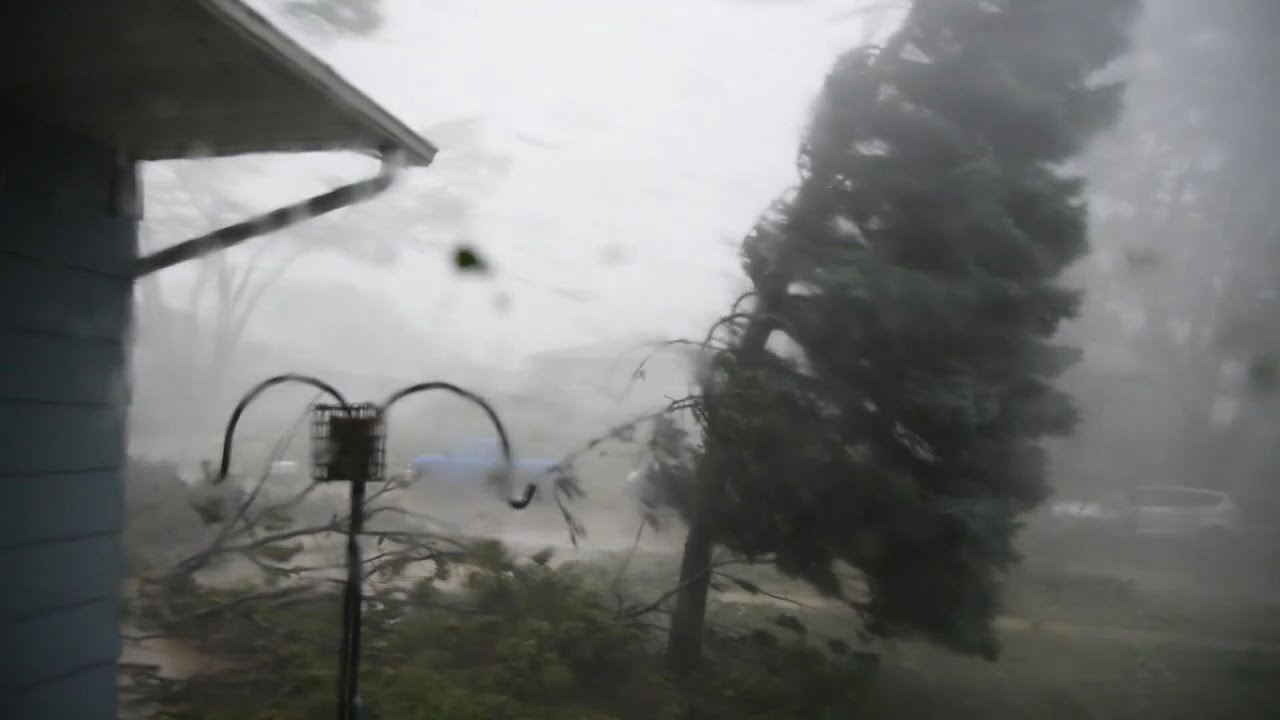
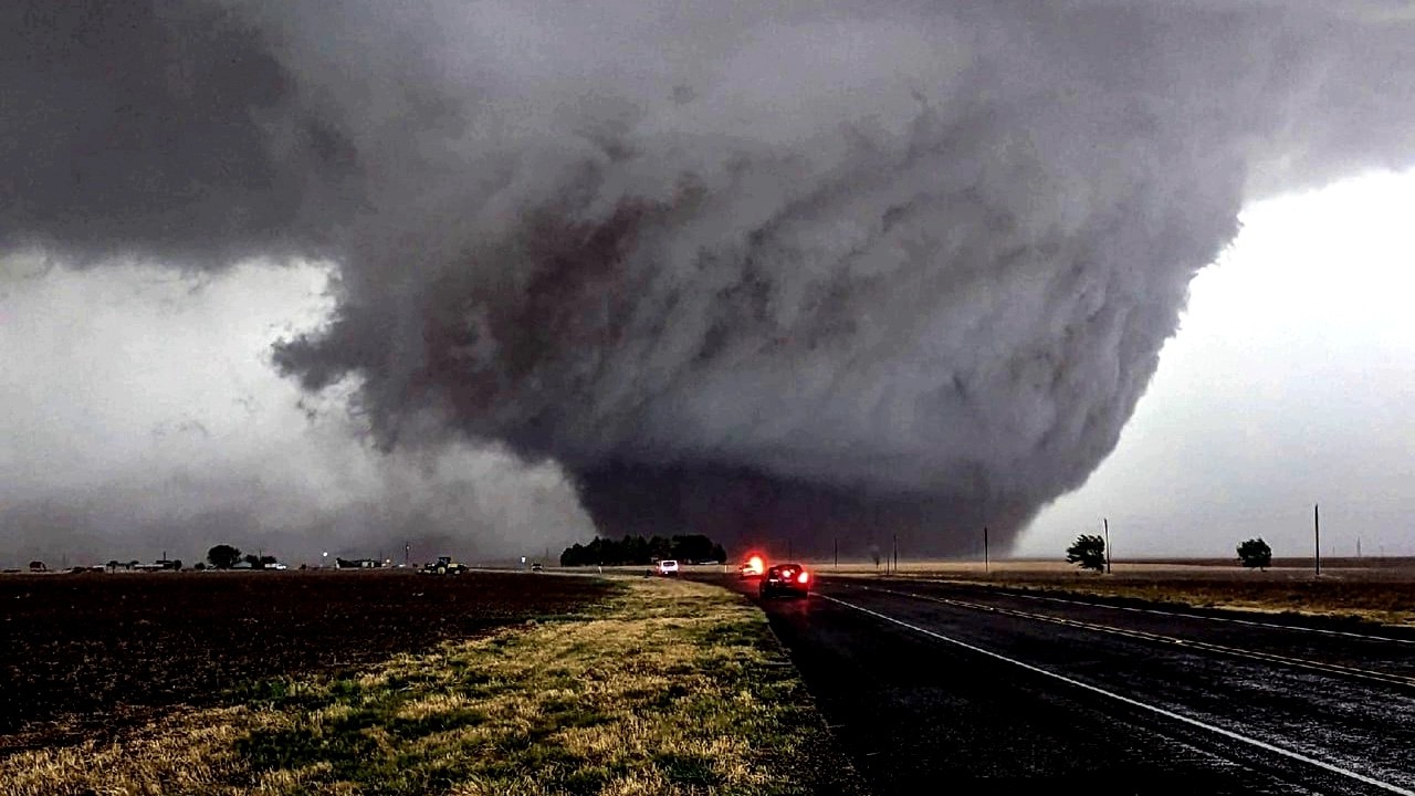
This video shows two storm intercepts. The first storm was a tornado warned supercell in Vergennes, located in the Champlain Valley of western Vermont. The storm displayed strengthening mid-level rotation and an impressive shelf cloud as it approached my location. The second was a severe warned storm in Putney near the Connecticut River in southeast Vermont, where hilly terrain and dense tree cover made for poor sightlines and a very difficult chase. Despite this, I was able to find a semi-open area and time lapse the storm's structure just before it reached my position.
Повторяем попытку...

Доступные форматы для скачивания:
Скачать видео
-
Информация по загрузке: