Скачать
Drone Survey Analytics to find Land Usage Information using Machine Learning
Автор: Blurgs
Загружено: 2023-06-08
Просмотров: 60
Описание:
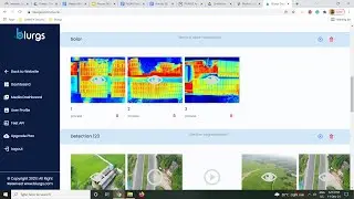
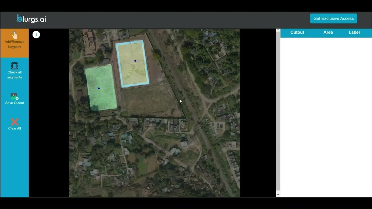
Visualization, Post-processing, and analytics of Photogrammetry files are difficult as it needs enhanced system requirements and computational infrastructure. Our platform provides a Cloud-based platform to perform analytics and find various information from your Orthomosaic Files on the go.
Link to Platform: https://shorturl.at/bpKTZ
For more info drop us a 'Hi; on [email protected]
Не удается загрузить Youtube-плеер. Проверьте блокировку Youtube в вашей сети.
Повторяем попытку...
Повторяем попытку...
Доступные форматы для скачивания:
Скачать видео
-
Информация по загрузке: