#HIKING
Автор: simline76
Загружено: 2024-05-25
Просмотров: 1691
Описание:
Can be watched up to 4K resolution.
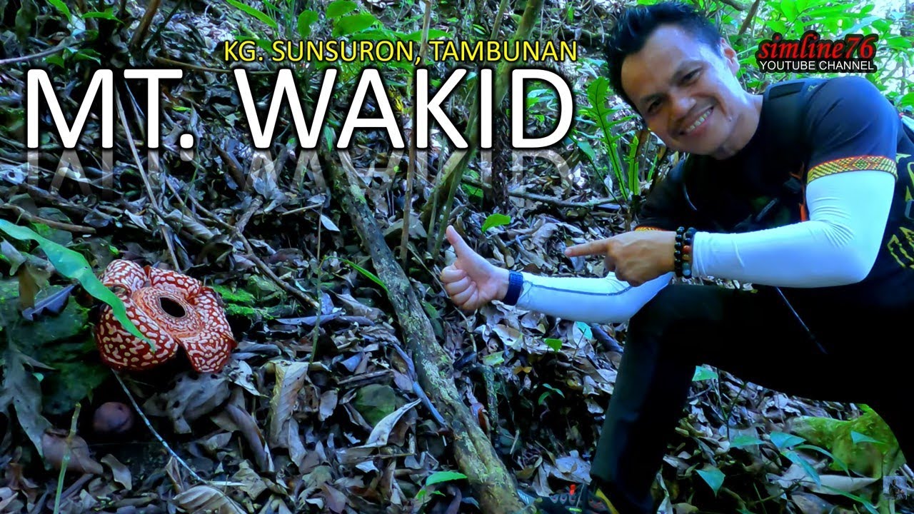
Trail Name: Gunung Wakid
*Route (.gpx file): https://api.sports-tracker.com/apiser...
Location: Kampung Sunsuron, Tambunan (5°44'31.3"N 116°22'31.6"E)
Level of Difficulty: Moderate (subject to personal fitness)
Hike Difficulty: Grade 3
*Distance: 6.5 KM
*Highest Point: 1,384 M ASL
Points of Interest:
-Tremendous Rivers,
-Hill View,
-Tropical Rainforest,
-Stretch of the Crocker Range,
-Waterfalls,
-Ocean of Clouds,
-Swimming Pool,
-Crystal
-Homestay (Pilina Homestay - Start Point)
-Tumpung (traditional rice wine)
-Traditional food
*Suunto Vertical Titanium Solar
For more information, please Whatsapp/Call:-
📲Mrs Bibiana (A local experienced travel agent)
+60 14-6792148
TIMESTAMP (to be updated)...
Music background:
Track: Royoh-Royohon KARAOKE (Official) - simline76
Lyric/Song: Bobby Small Planet
Music: BMP Records, Ranau, Sabah (BORNEO)
Link: • Royoh-Royohon KARAOKE (Official)
Повторяем попытку...
Доступные форматы для скачивания:
Скачать видео
-
Информация по загрузке: