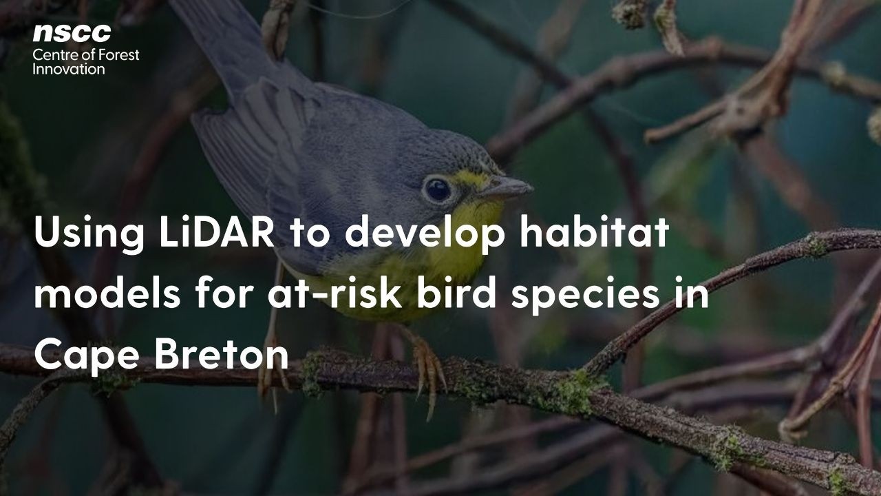
Event recording: Using LiDAR to develop habitat models for at-risk bird species in Cape Breton
Автор: Nova Scotia Community College
Загружено: 2026-03-02
Просмотров: 9
Описание: In this recorded webinar, presenters share findings from a collaborative project aimed at improving how habitat for species at risk is identified in forest planning across Cape Breton. Led by Port Hawkesbury Paper in partnership with Dalhousie University and the Applied Geomatics Research Group at NSCC, the project developed detailed habitat models for six bird species at risk in Nova Scotia using high-resolution LiDAR and forest inventory data. The session highlights how these map-based tools can support regulatory requirements, certification standards and stewardship in working forests. This webinar is provided by NSCC's Centre of Forest Innovation.
Повторяем попытку...
Доступные форматы для скачивания:
Скачать видео
-
Информация по загрузке: