🚀 Sphere360 Handheld LiDAR Scanner — Next‑Gen SLAM 3D Mappin
Автор: spherefix GNSS
Загружено: 2026-02-17
Просмотров: 53
Описание:
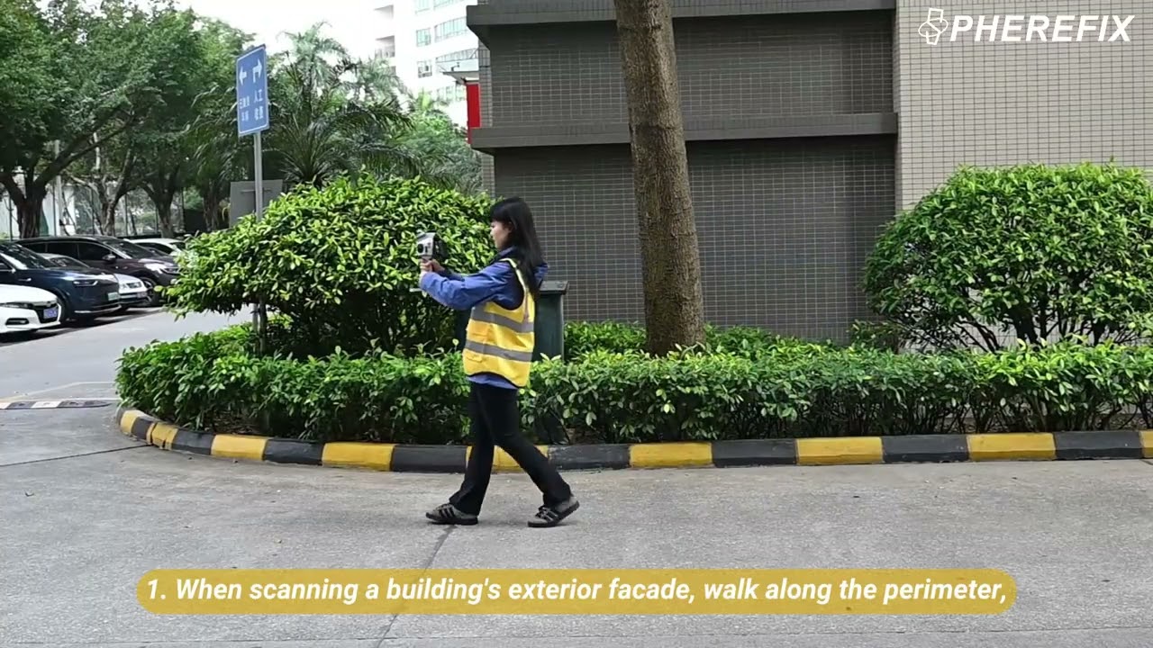
Ready to transform the way you capture real‑world environments? Sphere360 combines high‑performance SLAM with Livox Mid‑360 LiDAR to deliver survey‑grade 3D point clouds in even the toughest conditions.📍
No tripods, no lengthy setups — just walk through the space and capture rich, accurate data in real time. With SLAM, RTK‑SLAM, and PPK‑SLAM modes, you get both mobility and precision.☁️
👇 Ideal for: urban surveying, infrastructure inspection, digital twin creation, asset documentation.
🔍 Key Highlights:
✨ Multi‑mode mapping: SLAM, RTK‑SLAM, PPK‑SLAM
📏 ≤3 cm relative & ≤5 cm absolute accuracy
📊 360° LiDAR scanning up to 40 m range
🎒 Lightweight, rugged, and ready for fieldwork
📌 Subscribe for tutorials, real use cases, and point cloud workflows!
Повторяем попытку...
Доступные форматы для скачивания:
Скачать видео
-
Информация по загрузке: