Tree Counter
Автор: SKYLAB aerial vegetation mapping
Загружено: 2022-05-30
Просмотров: 1214
Описание:
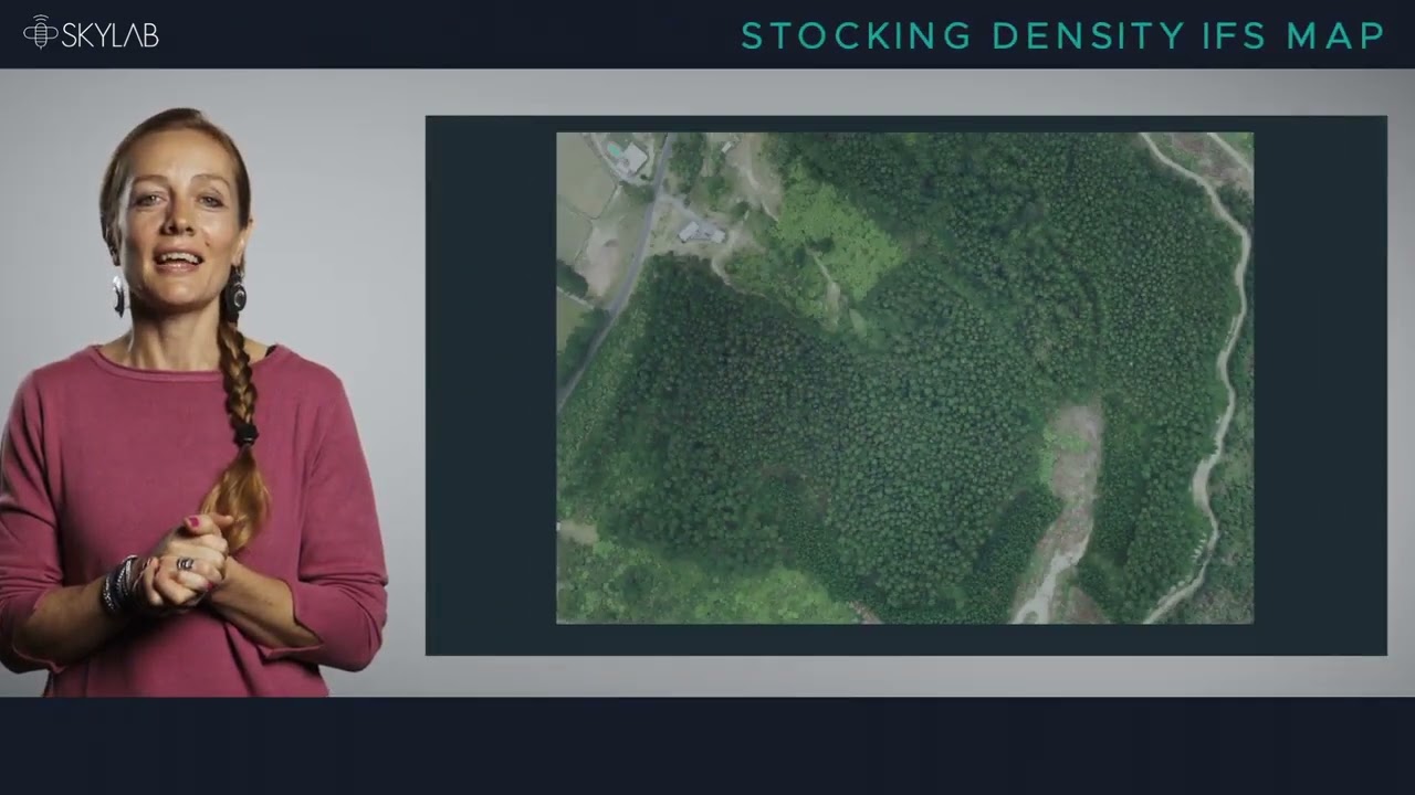
The Tree Counter processes and analyses drone or plane image data, and automatically identifies and counts all trees in a stand. Get detailed stocking maps to see growth variations, carry out due diligence assessments, identify performance problems and plan thinning or harvesting operations.
Individual tree ID enables lifetime tracking of trees through to harvest.
You can also get detailed information on forest health and identify individual trees affected by drought or disease, as well as detect problem hotspots across larger estates.
Learn more about SKYLAB at www.skylabglobal.com
Повторяем попытку...
Доступные форматы для скачивания:
Скачать видео
-
Информация по загрузке: