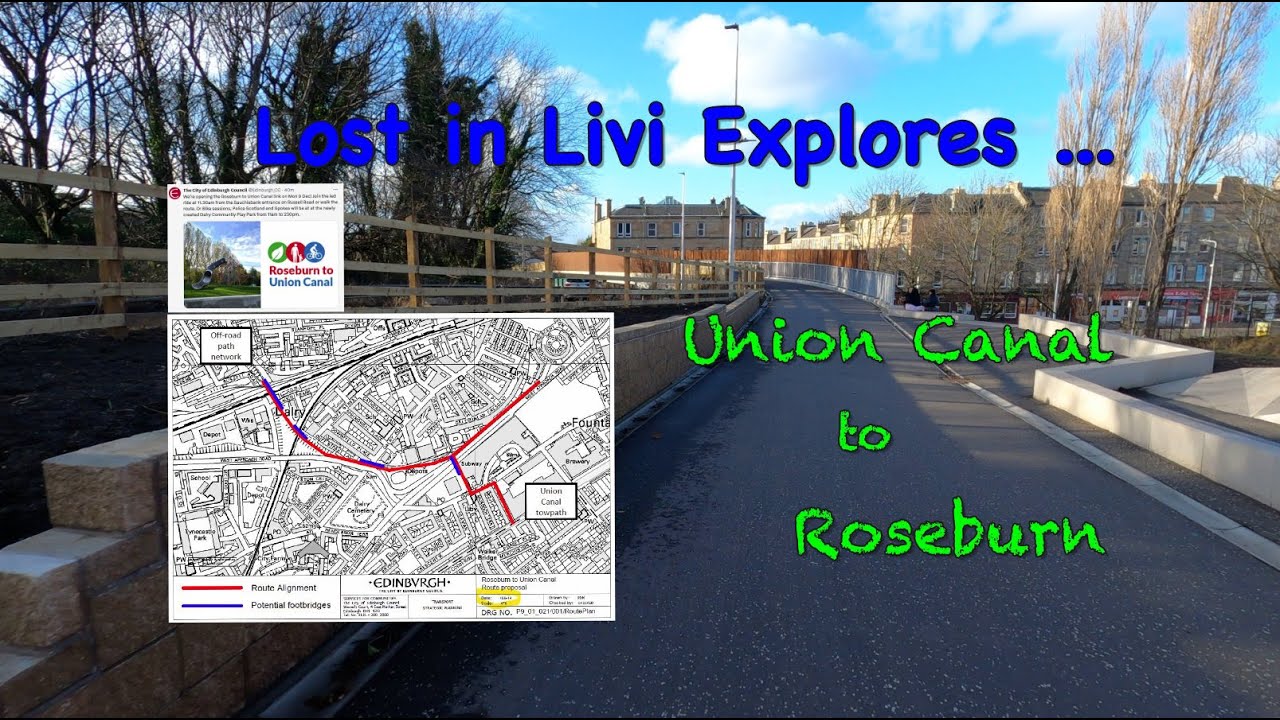
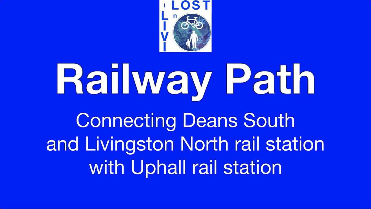
Lost in Livi - Railway Path
Автор: Lost in Livi
Загружено: 2021-04-18
Просмотров: 412
Описание:
Join me for a bike ride along RAILWAY PATH, Livingston, West Lothian.
When Livingston New Town was developed in the 1960s the planners retained many existing old routes as a traffic-free, shared-use path network. 24 core paths were created and named. My aim is to record each of them, showing how they interconnect and provide an alternative to local travel by motor vehicle.
There are two options for Railway Path, north and south of the rail line between Deans and Knightsridge. My preference is for the south path, only because the path is a bit less 'lumpy' although it does have an outdated barrier to negotiate. Although one of the longest of Livingston's core paths, it is relatively level and easy-going as it follows the rail line between Livingston North and Uphall rail stations. The path makes excellent connection with Houston Industrial Estate from either station.
Although not marked as such on current maps, new signage has been erected at Uphall extending Railway Path further east, to Uphall along an existing tarmac path, and to East Calder along an upgraded gravel track and crossing Camps Viaduct above Almondell Country Park. That route is well worth a video all of its own.
For route info:
Garmin Connect: https://connect.garmin.com/modern/cou...
OS Maps: https://osmaps.ordnancesurvey.co.uk/r...
Повторяем попытку...
Доступные форматы для скачивания:
Скачать видео
-
Информация по загрузке:


![STUNNING: You Won’t Believe This View Near Slough! 🌿 [4K 50fps • Dolby Vision • Atmos] | Karanvelox](https://imager.clipsaver.ru/JRGibYMmiF8/max.jpg)