Unlock Off-Trail Backpacking With These CalTopo Tools | How I Develop Routes
Автор: Dan Stenziano
Загружено: 2026-02-08
Просмотров: 1030
Описание:
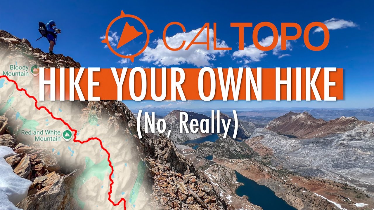
Learn how to develop off-trail backpacking routes using advanced features in CalTopo. I show how I use slope angle shading, satellite imagery, 3D imagery, and Sentinel Weekly imagery to find non-technical lines through steep, unlikely terrain. Throughout the video, I reference the Eastern Sierra High Route, which I created using the methods in the video.
Video Chapters:
00:00 Intro
02:27 CalTopo overview
05:15 Slope angle shading
10:58 Satellite imagery
11:47 3D imagery
13:16 Sentinel imagery
15:33 Putting it all together/ESHR example
New subscribers to CalTopo can use code DAN25 at checkout on caltopo.com/join for 25% off their first year of any individual subscription. Code expires January 31, 2027.
Check out the Eastern Sierra High Route: • EASTERN SIERRA HIGH ROUTE | A New Line Thr...
Buy the Eastern Sierra High Route Guide: https://tinyurl.com/ESHRGuide
Повторяем попытку...
Доступные форматы для скачивания:
Скачать видео
-
Информация по загрузке: