Winter storm begins later today, heaviest snow on Sunday | Jan. 24, 2026
Автор: Meteorologist Ryan Morse
Загружено: 2026-01-24
Просмотров: 42
Описание:
A WINTER STORM WARNING goes into place for spots along and south of I-70 at noon and lasts until Monday morning.
TODAY: Cloudy & cold. There is a lot of dry air in place due to an Arctic high that our system will take a bit to overcome. The first snow showers begin in south-central Indiana by mid-afternoon. Indianapolis and along I-70, snow begins in the 5-7 pm range. High temperatures in the low teens.
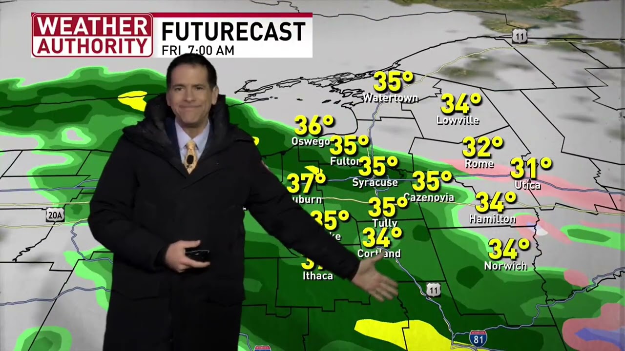
TONIGHT: Widespread snow is expected. Not much accumulation happens on Saturday, with almost all of the significant accumulation happening Saturday night & Sunday. Low temperatures in the low teens.
SUNDAY: The worst travel conditions will be on Sunday. Waves of heavier snow are anticipated. Winds gust 20 to 25 mph. Higher snow ratios equate to a fluffier snow that adds up quickly. Lingering snow tapers off Sunday night. High temperatures in the mid-teens.
TOTALS:
Indianapolis, we are still going 7-10". The highest totals from this event will be in southern Indiana. Washington to Columbus and south is where 10-12"+ remains possible. Lafayette to Kokomo is in our 4-7" range with a drop-off into NW Indiana.
7-DAY FORECAST: Colder air is here to stay, so snow that falls will linger around this week. Most overnight low temperatures around the zero-degree mark. A reinforcing shot of Arctic air moves in Tuesday night into Wednesday. Along this frontal boundary, a couple of flurries can't be ruled out.
Повторяем попытку...

Доступные форматы для скачивания:
Скачать видео
-
Информация по загрузке: