Extract Elevation with Latitude & Longitude | AutoCAD Survey Automation
Автор: CAD Super User
Загружено: 2026-01-22
Просмотров: 71
Описание:
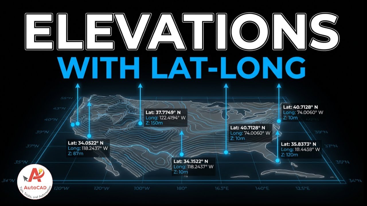
AutoCAD Elevation Extraction automates UTM to latitude longitude conversion while generating accurate elevation reports directly from CAD drawings. Using AutoCAD Elevation Extraction and UTM to latitude longitude automation, surveyors can extract elevations, plot numbers, and geographic coordinates in minutes instead of days.
This video explains a complete CAD automation workflow where elevations, plot boundaries, and plot numbers are intelligently analyzed based on layer discipline. The tool converts UTM coordinates into precise latitude and longitude values using project-specific datum, zone, and hemisphere settings.
You’ll see how hundreds or thousands of elevation points are linked to correct plot numbers and exported into a clean, ready-to-use elevation report—accurate, consistent, and verifiable.
📩 Contact [email protected] for custom CAD automation solutions.
#AutoCADElevation #SurveyAutomation #UTMConversion #LatitudeLongitude
Повторяем попытку...
Доступные форматы для скачивания:
Скачать видео
-
Информация по загрузке:


