Скачать
Solar commercial roof mapping. 3.0 gsd
Автор: Eye in the Sky LLC Drone Services
Загружено: 2026-02-05
Просмотров: 13
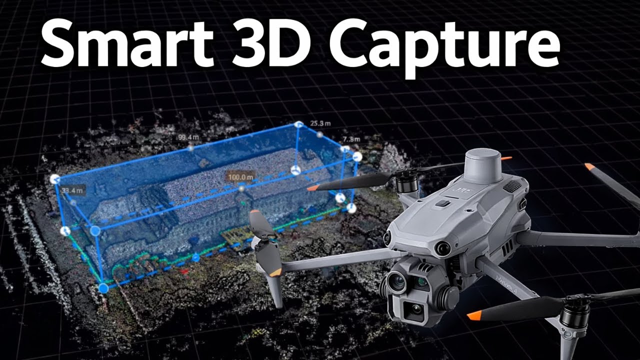
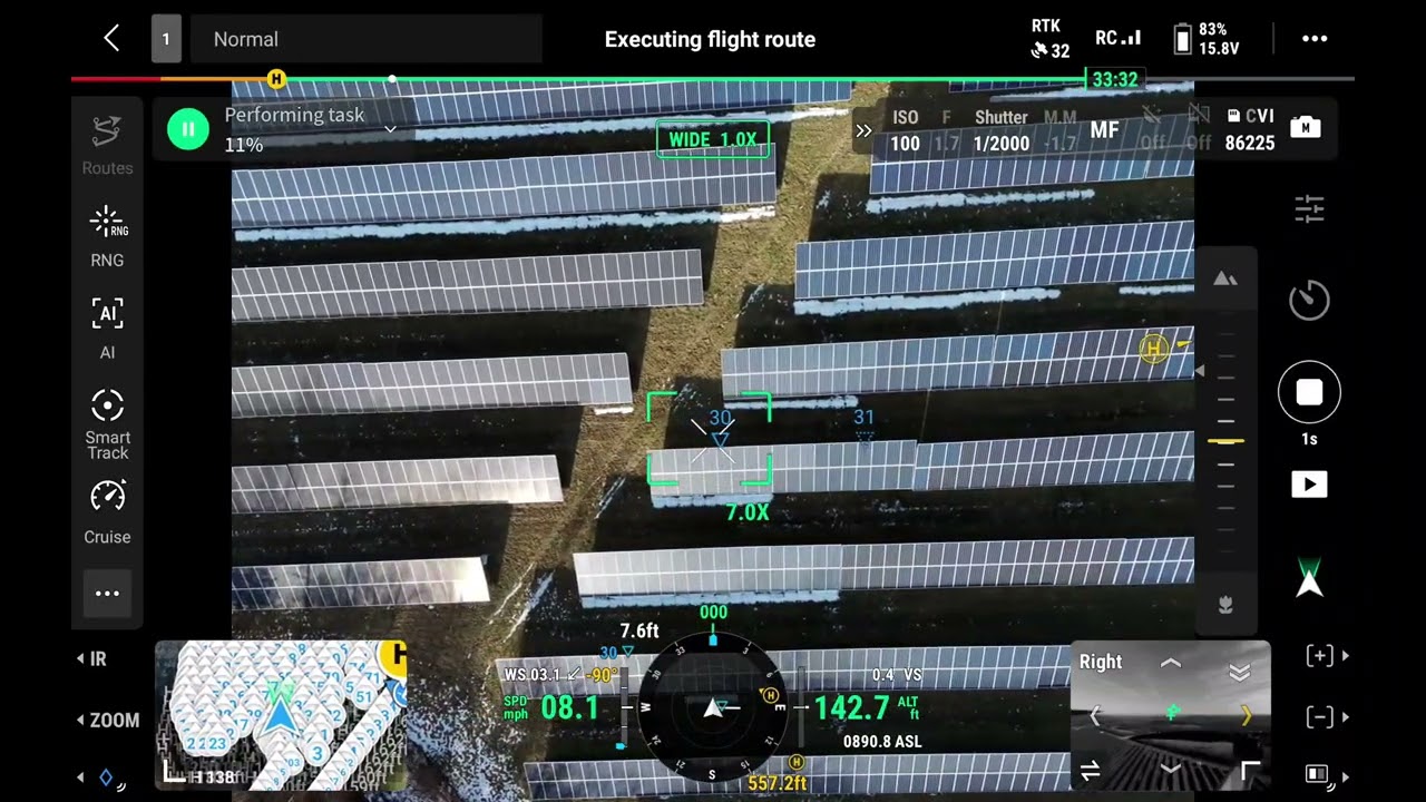
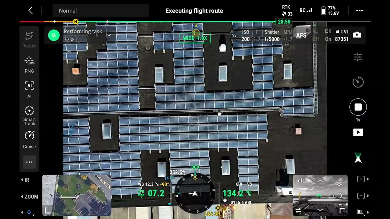
Описание: This video showcases a high-resolution commercial solar roof mapping mission conducted by Eye in the Sky LLC Drone Services. Using professional UAV platforms, we capture precise aerial imagery and geospatial data to create accurate roof maps that support solar planning, system design, documentation, and verification. Our workflow improves measurement accuracy, reduces site visit time, and provides stakeholders with clear visual data to make informed decisions efficiently and safely.
Не удается загрузить Youtube-плеер. Проверьте блокировку Youtube в вашей сети.
Повторяем попытку...
Повторяем попытку...
Доступные форматы для скачивания:
Скачать видео
-
Информация по загрузке: