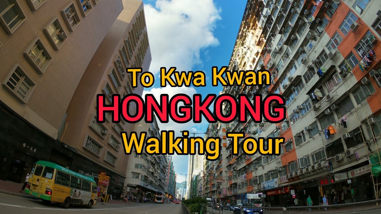
To Kwa Wan, Ma Tau Wai, Hong Kong Walking Tour(土瓜灣,馬頭圍,香港) [4K 60fps]
Автор: CityTour
Загружено: 2022-04-29
Просмотров: 1005
Описание:
To Kwa Wan (土瓜灣) is a bay and an area of the eastern shore of Kowloon peninsula. The area is part of urban Hong Kong, and is situated between Hok Yuen, Hung Hom, Ma Tau Wai and Ma Tau Kok. Administratively, the area belongs to the Kowloon City District of Kowloon.
To Kwa Wan is a mixed residential and commercial area, located to the west of the old Kai Tak Airport.
It comprises mostly mid-20th century residential and light industrial architecture of 10 or fewer floors, built to comply with height restrictions for the former Kai Tak Airport. Since the airport closed in 1998, new buildings are taller, often with commercial space on the ground floor, especially along major roads such a Ma Tau Wai Road. Consequently, the area has a much-valued cohesive community spirit.
Ma Tau Wai (馬頭圍) is an area in the Kowloon City District, Kowloon, Hong Kong. It was originally a walled village (Cantonese: Wai) between present-day Argyle Street and Prince Edward Road West, east of present-day St. Teresa's Hospital.
The area of Ma Tau Wai is not as well-defined as the original village, as the geographic features have been lost. The Ma Tau Wai Road in To Kwa Wan does not pass through Ma Tau Wai proper, although it was originally intended to. Ma Tau Wai is sometimes referred to the area south of Argyle Street and north of To Kwa Wan.
This video was captured in DEC 2021.
Повторяем попытку...
![To Kwa Wan, Ma Tau Wai, Hong Kong Walking Tour(土瓜灣,馬頭圍,香港) [4K 60fps]](https://imager.clipsaver.ru/32B6Wrk67IM/max.jpg)
Доступные форматы для скачивания:
Скачать видео
-
Информация по загрузке:
![To Kwa Wan, Ma Tau Wai, Hong Kong Walking Tour(土瓜灣,馬頭圍,香港) [4K 60fps]](https://imager.clipsaver.ru/QojTx7K44cE/max.jpg)
![TO KWA WAN STREET WALK TOUR - HONG KONG KOWLOON DAY TOUR - OLD DISTRICT TOUR JUNE 2024 [4K TOUR]](https://imager.clipsaver.ru/WLLvoPNp0_I/max.jpg)
![[4K] Hong Kong, Walking Tour start from To Kwa Wan Station.](https://imager.clipsaver.ru/J5tGGdq3Znw/max.jpg)


![Эффект Джанибекова [Veritasium]](https://imager.clipsaver.ru/N9HlQ-XVnFk/max.jpg)


![深水埗,長沙灣道,好鬼旺呀![07072024]#citywalker #街頭攝影](https://imager.clipsaver.ru/jdQg7nyjht4/max.jpg)