St Cuthbert's Way - Day 1, Melrose to Ancrum/Jedburgh -13 Miles/22 Km with an ascent of 1,946ft/593m
Автор: Hiking With Dave and Barbara
Загружено: 2023-12-09
Просмотров: 1470
Описание:
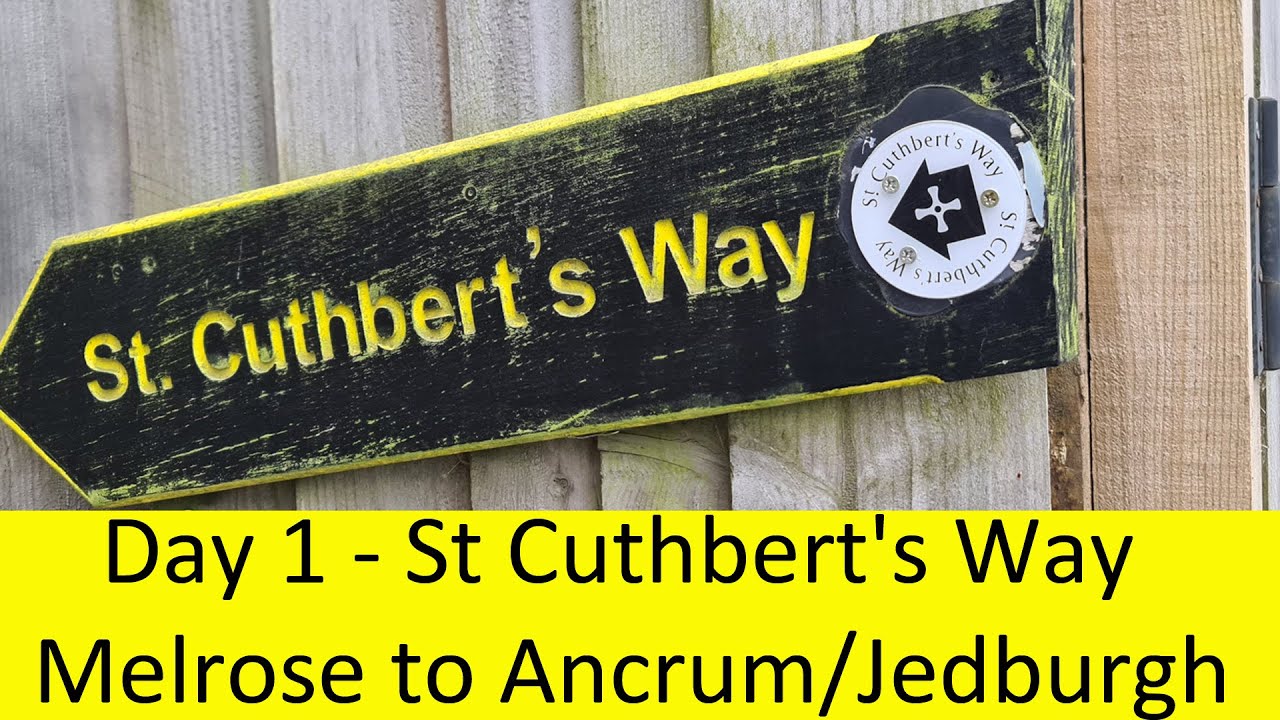
Melrose to Jedburgh
St Cuthberts Way, Scottish/English borders, Day 1
Following on from a couple of national trails in England and Scotland, we decided to walk the St Cuthberts Way from Melrose to Lindisfarne, a distance of 62 miles over 5 days. As there were 11 of us from our Friday walking group, we had booked all accommodation 8 months in advance. We were really looking forward to this walk which takes in the old Abbeys of Melrose, Dryburgh, and Jedburgh, visiting St Cuthberts cave, as well as following the river Tweed and ending at the majestic Holy Island of Lindisfarne, with its tidal causeway. The walk follows in the footsteps of the 7th century St Cuthbert, who spent his life in this area of the Scottish Borders.
Melrose to Jedburgh is a relatively long day of 19 miles, with 1200 feet of elevation. There was some discussion amongst our party whether to walk the full 19 miles, or walk 15 miles from Melrose to Harestanes visitor centre/Ancrum then catch a bus from Ancrum to Jedburgh, returning by bus to the same point the next day.
We stayed at the George and Abbotsford Hotel, Melrose. Breakfast is normally served from 8am, but when we checked in, we were very kindly offered the option to eat at 7.30am. After a delicious breakfast we bought some lunch from the local coop store (opens 7am-11pm). The walk begins at an information board near the Abbey, then heads south through the Market Square, up Dingleton Road, under the flyover before turning left at a sign for Eildon Hills, and SCW (St Cuthberts Way). We left at 9am, and were soon out in the countryside. Half way up to the col (9.15am,150m ascent), is a very pretty carved bench. The path splits here, the left-hand path takes 15 minutes to the top of Eildon Hill with an iron-age hill fort, but we continued to the col. We arrived at the col at 9.30am, 250m ascent, 1.3 miles covered. The col is 320m high, with tremendous views back over Melrose, the River Tweed valley and many hills beyond.
There is an obvious path down through the pretty yellow gorse, with great views south to the Cheviots. We followed the signs, entering a pretty forest, where the path splits we took the left-hand way, crossing a small valley, before heading uphill once more through more forest. We emerged to walk through a play park, into the small village of Bowden (10.15am). We continued, then took a detour crossing the river on a footbridge, passing a monument to William Wallace, Dryburgh Abbey Hotel, then arriving at the beautiful Dryburgh Abbey. There are some free toilets just past the entrance. We paid the £3.80 to enter the Abbey-half price due to renovations. It was well worth paying to have a good look round, there is a small shop with a coffee machine, and picnic benches.
Leaving at 12.10pm, we continued along the northern bank of the river, the path then goes uphill, before turning right onto the main road over Mertoun Bridge, then left along the south bank of the river. We stopped to eat our lunch in a lovely location on the river bank, whilst watching the herons flying nearby.
Continuing, we went up some steep steps to the church at Maxton (1.40pm,10 miles, 5 hours, 432m ascent), turning right up the lane, following the signs, just before the
A68 turning left down through the trees. We followed the old Roman road of Dere Street. (5 hours 15 mins, 11 miles, 479m ascent).
To the right of the path is Lilliard’s Stone, a monument to a woman who fought in a local battle between the Scots and the English in 1545 (6 hours 12.5 miles). On the horizon Waterloo Monument can be seen-a huge 150ft (46m) tower on Peniel Heugh, completed in 1824.
Dere Street seemed endless, and as some members of the party were tired, we decided to call it a day. Where Dere street met a small road, we turned right, then turned left down the very busy main road, then right to Ancrum. We caught the 4.13pm bus number 68 to Jedburgh. We would then return to this point the following day.
We had a lovely day with lovely weather, historic sites visited, river walks, and beautiful scenery. Dryburgh Abbey was definitely worth a detour.
We were staying at the Royal Hotel, checking in at 5pm. We walked round the town of Jedburgh. If we had arrived earlier, we could have visited the very large abbey completed in 1138. We bought fish and chips from Abbey Take Away eating them outside on a picnic bench overlooking the Abbey. A great end to the day.
Distance 15.3 miles (24.6 km)
Duration of Walk 7 Hours including breaks
Elevation Gained 1946 feet (593m)
Pace 28 min a mile
YouTube has a 5,000 character limit on video descriptions. To read Barbara's complete blog, please check out our website, www.hikingwithdaveandbarbara.com.
Повторяем попытку...
Доступные форматы для скачивания:
Скачать видео
-
Информация по загрузке:


