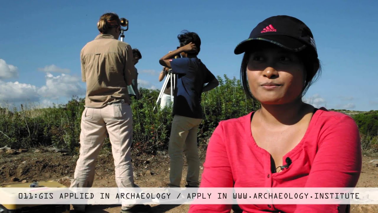
Total Station & GIS Applied in Archaeology
Автор: SaniseraFieldSchool
Загружено: 2015-10-01
Просмотров: 3670
Описание: Many students studying archaeology, anthropology and classics have participated as part of a research team. However, not many have experience in using a total station for creating plans or GIS for processing the large volume of information generated during an excavation. If you would like to enhance your studies and experiences in archaeology as well as be more competitive and efficient within your field, then with this course you will learn skills that will set you apart. Currently, using GIS to process collected data shows importance towards any type of research project, be it an archaeological survey or excavation. This program is advanced and specialized, focusing on extracting the maximum performance from software and technology available to archaeologist.
Повторяем попытку...
Доступные форматы для скачивания:
Скачать видео
-
Информация по загрузке:


