How to change Map Projections and Coordinate System of Shapefile in ArcGIS
Автор: GIS & RS Solution
Загружено: 2020-07-17
Просмотров: 79917
Описание:
This tutorial illustrate how to change the Projections and coordinate system in shapefile.
Follow us in Facebook page: / gisrsitsolution
To get more Tutorials, please subscribe my channel. Thank you :)
Our others important Tutorial:
How to Download GIS Shapefile of any Country for free: • GIS Shapefile of any Country
Download update Shapefile (GIS) of any Area: • Shapefile download (Country, Road, River, ...
How to prepare Study Area Map in ArcGIS: • Study Area Mapping | Create Map Layout in ...
How to Create DEM and Contour by Google Earth & ArcGIS: • Extract Elevation/DEM and Contour from Goo...
Download Satellite Image from USGS website:
• How to Download Satellite Image Landsat 8 ...
Band Composite and Extraction of AOI from Satellite Imagery using ArcGIS: • Band Composite and Extraction of AOI from ...
SAS PLANET very High Resolution free Google earth Image: • SAS PLANET: Download very High Resolution ...
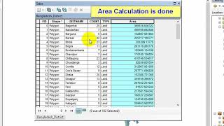
Easy way to Calculate Area, Perimeter and Length in ArcGIS: • Easy way to Calculate Area, Perimeter and ...
Related Tags
how to change coordinates, how to change map projections, change projections, coordinate system in arcmap, arcmap projections, coordinate and projections, how to change projections system in shapefile
Повторяем попытку...

Доступные форматы для скачивания:
Скачать видео
-
Информация по загрузке: