Hybrid Positioning — Atlantic Land Design Testimonial
Автор: Topcon Solutions Store
Загружено: 2022-02-23
Просмотров: 113
Описание:
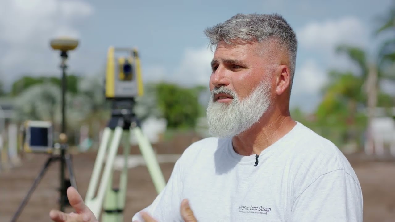
Hybrid Positioning uses both GNSS and robotics in a unified system so that you can capture the shot, regardless of tree cover, loss of line of sight, or hard to reach points. And in the rare instance of losing prism lock, the GNSS information allows the robotic instrument to relock with unprecedented speed.
See how Jim Cesiro from Atlantic Land Design uses the hybrid setup to survey 3 jobs in the time it took to do 1 with the old system.
Topographic surveyors are called upon to answer a broad, ever-changing range of needs and demands. Technology from Topcon is designed to meet these needs today and anticipate the demands of tomorrow.
Повторяем попытку...
Доступные форматы для скачивания:
Скачать видео
-
Информация по загрузке: