SLAM200 Drone-Mounted LiDAR | High-Precision 3D Scanning for High-Rise Buildings
Автор: Foxtech Robot
Загружено: 2025-06-25
Просмотров: 2059
Описание:
Discover More: https://www.foxtechrobotics.com/slam2...
---------------------------------------------------------------------------
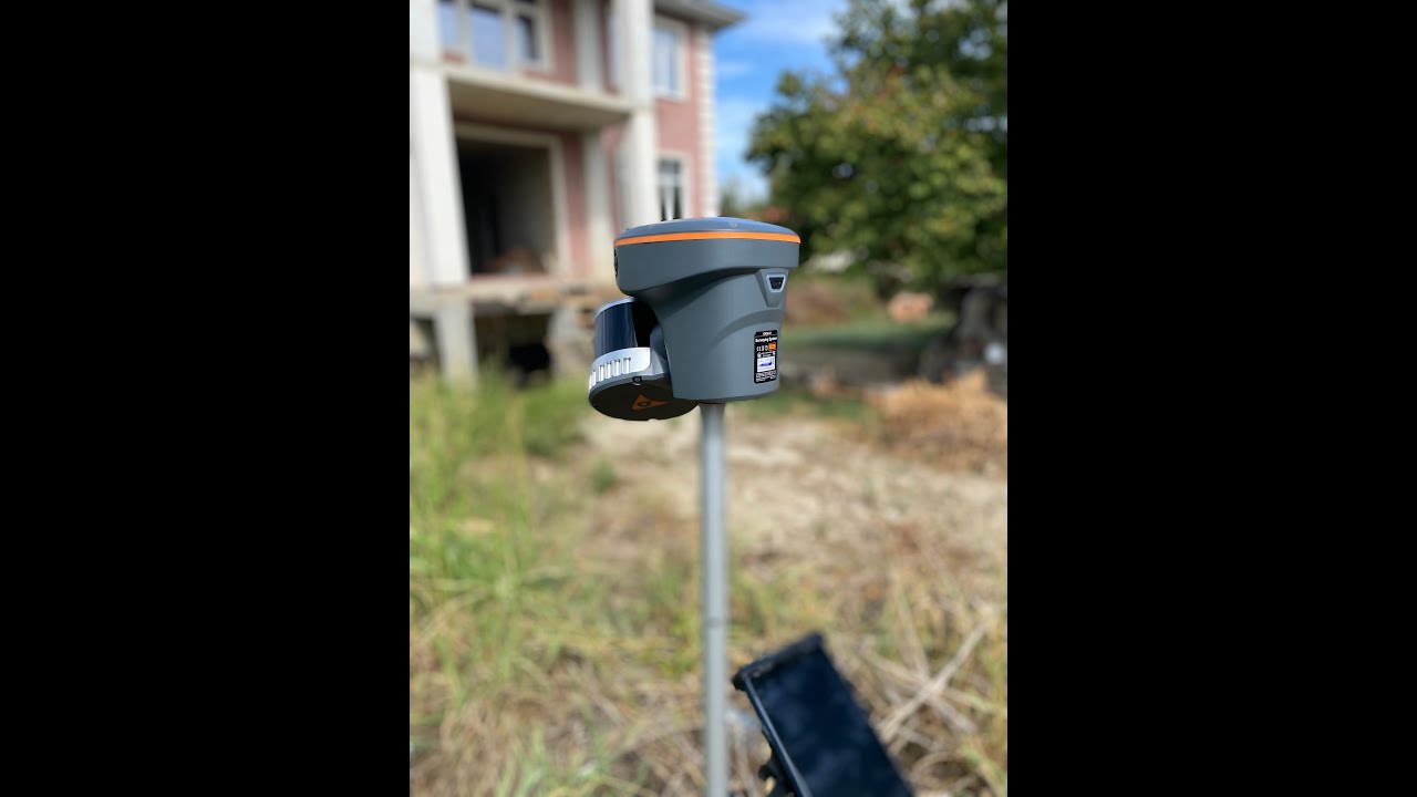
Capture high-precision 3D data from the sky with the SLAM200 — a next-gen LiDAR scanner mounted on drones for efficient high-rise building scanning.
Key Features:
• High-precision, high-density point clouds
• 300m measurement range with 0.5cm point cloud thickness
• Real-time SLAM mapping and orientation
• Built-in GNSS module for absolute positioning
• Panoramic camera for color point clouds & visual SLAM
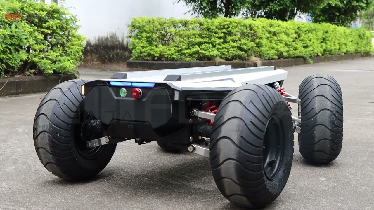
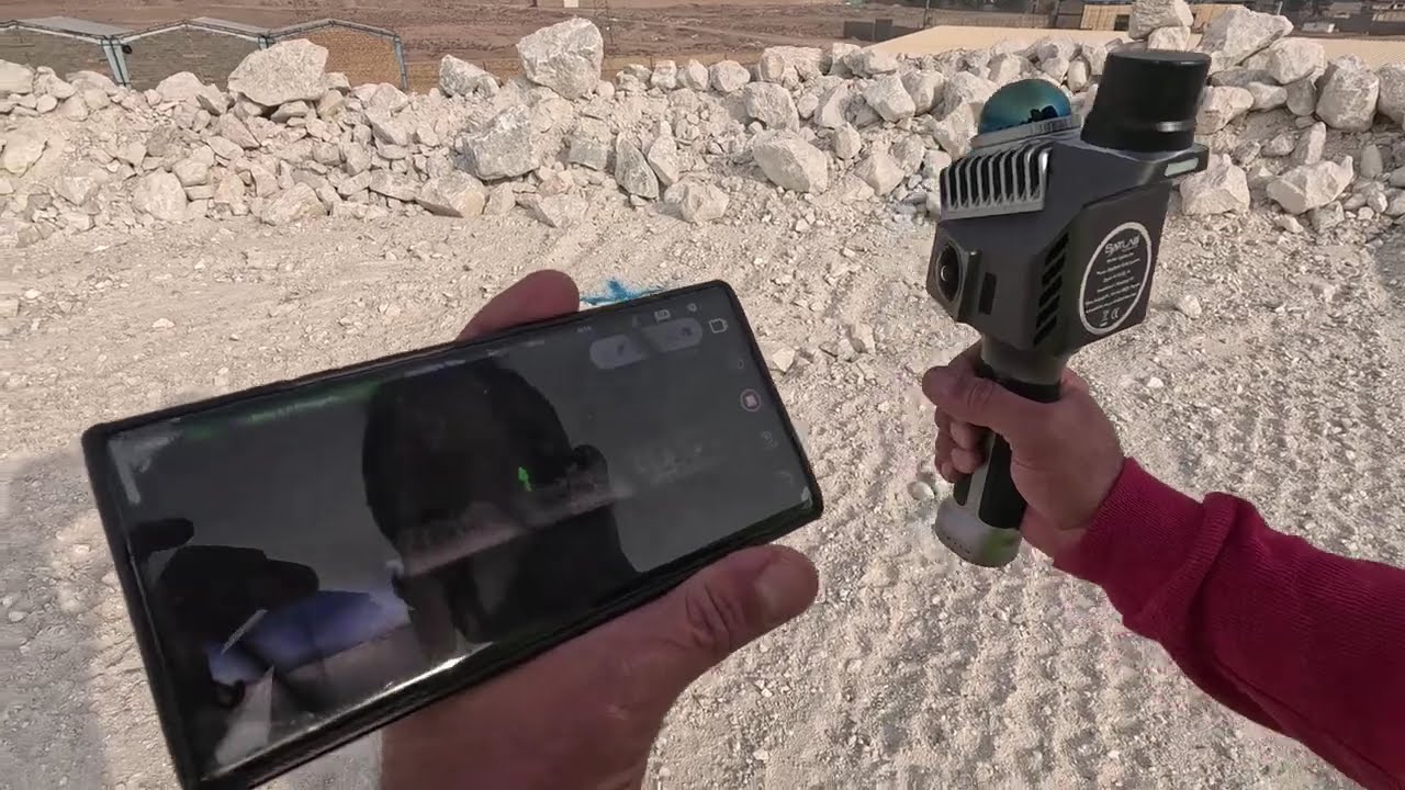
• Supports drone, handheld, backpack, and vehicle-mounted modes
From ground to air, SLAM200 offers unmatched flexibility and detail for surveying, mapping, and structural analysis.
Have questions or want to see more real-world use cases? Drop a comment or contact us to learn more.
#SLAM200 #LiDARScanner #DroneMapping #3DScanning #HighRiseSurvey #PointCloud #AerialLiDAR #DroneSurveying #SLAMMapping #foxtech
------------------------------------------------------------------------------
Follow us:
YouTube: / @foxtechrobot
Facebook: / foxtechrobot
Ins: / foxtech_robot
Linkedin: / foxtechrobot
Tiktok: / foxtechrobot
Twitter: / foxtechrobot
Повторяем попытку...

Доступные форматы для скачивания:
Скачать видео
-
Информация по загрузке: