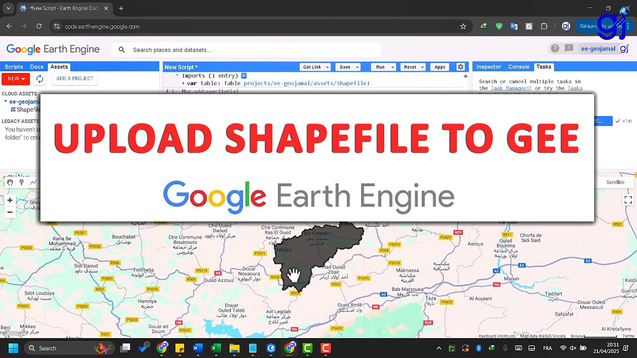
How to Upload a Shapefile to Google Earth Engine | Step-by-Step Tutorial
Автор: GeoJamal Tv
Загружено: 2025-04-22
Просмотров: 689
Описание:
📌 Welcome to GeoJamal Tv – your gateway to the world of Geography, GIS, Remote Sensing, GeoAI, Google Earth Engine, spatial data science, and more.
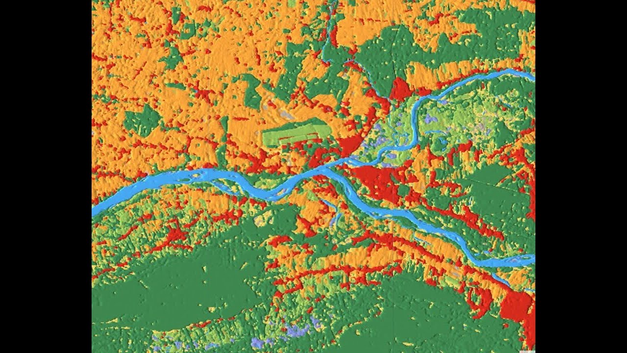
🌍 In this video, I’m going to show you exactly how to upload a shapefile to Google Earth Engine and make it ready for analysis and visualization. Whether you're working on land cover mapping, NDVI analysis, or watershed modeling—this tutorial will help you integrate your own spatial data into the GEE environment.
Created by : Jamal CHAAOUAN جمال شعوان
🔗 Explore more from the GeoJamal Network:
🌐 Main website: https://www.geojamal.com
📘 GIS Academy: https://gis.geojamal.com
📺 GEE Academy: https://gee.geojamal.com
🗺️ Earth & Maps Tools: https://earth.geojamal.com https://maps.geojamal.com
🛠️ How-To Guides: https://howto.geojamal.com
📩 Contact us for collaboration or freelance map services
📌 Subscribe and turn on notifications to never miss a new geospatial tutorial!
#GeoJamal #GIS #RemoteSensing #GeoAI #GoogleEarthEngine #Mapping #EarthObservation
Повторяем попытку...
Доступные форматы для скачивания:
Скачать видео
-
Информация по загрузке: