How to Create Land Parcel Polygon Maps | GIS & Spatial Analysis
Автор: MAPOG
Загружено: 2025-02-26
Просмотров: 236
Описание:
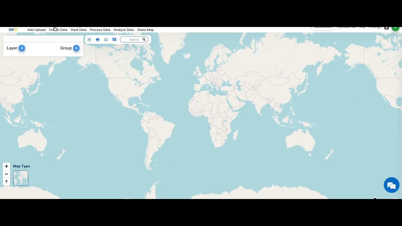
Want to accurately delineate land parcels for urban planning, real estate, or property assessment? In this tutorial, we’ll show you how to create polygon maps in MAPOG, making land visualization and analysis easier than ever!
🔍 What You’ll Learn:
✅ How to create and edit land parcel polygons
✅ Customize polygon styles for better visualization
✅ Use MAPOG tools for spatial analysis
✅ Enhance property assessment and urban development planning
💡 Why MAPOG?
MAPOG enables precise land parcel mapping, essential for real estate professionals, urban planners, and GIS analysts looking for efficient digital mapping solutions.
📌 Try MAPOG now 👉 https://story.mapog.com/app?utm_sourc...
📩 Need support? Email us at [email protected]
🎥 Don’t forget to LIKE, SHARE & SUBSCRIBE for more GIS tutorials! 👍
#MAPOG #LandParcelMapping #GIS #UrbanPlanning #PropertyAssessment #RealEstateMapping #PolygonMapping #GeospatialAnalysis #SmartCities #SpatialAnalysis #GISMapping #DataVisualization #LandUsePlanning #Surveying #MappingTools #OpenData #TechForGood #WebGIS #RealEstateTech #DigitalMapping
Повторяем попытку...
Доступные форматы для скачивания:
Скачать видео
-
Информация по загрузке: