Video from the Camp Fire Devastation
Автор: contracostasheriff
Загружено: 2018-12-17
Просмотров: 498
Описание:
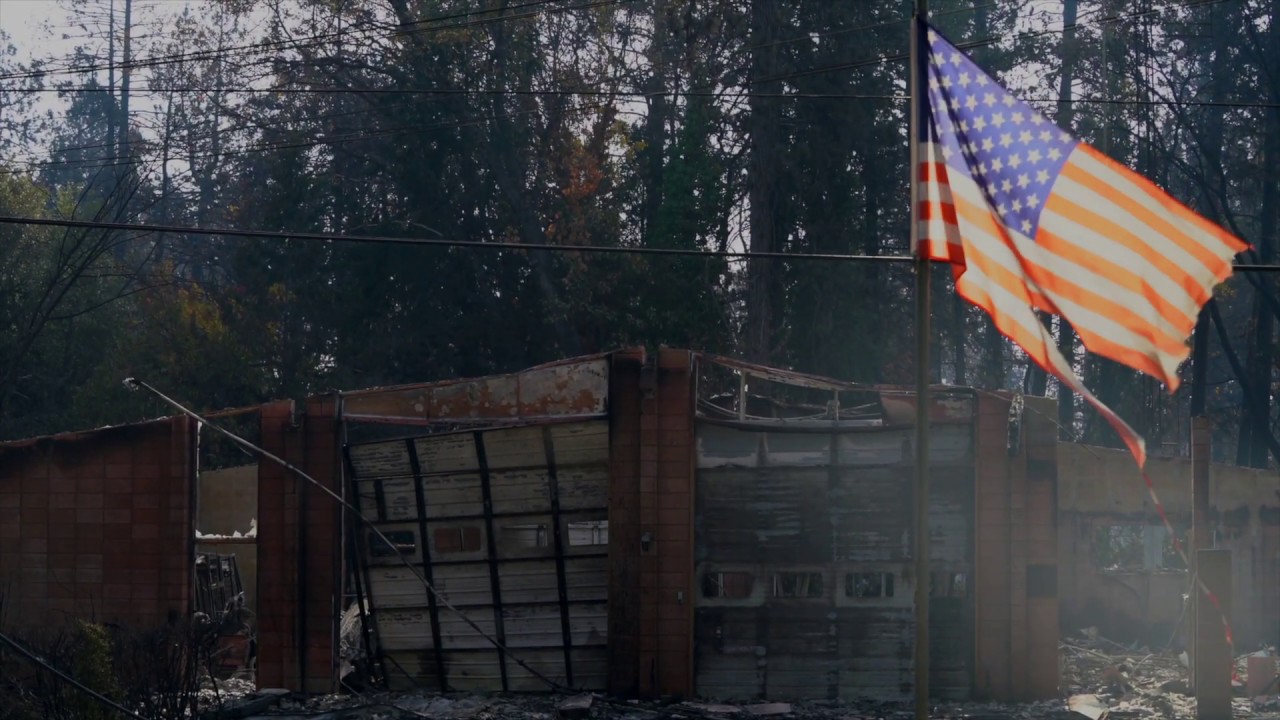
The Contra Costa County Office of the Sheriff's Small Unmanned Aircraft System (sUAS) Team recently assisted with the mapping and surveying of the damage caused from the devastating Camp Fire in Paradise California.
A number of agencies responded following a mutual aid request from authorities in Butte County. The Sheriff's Office sUAS Team, along with several other teams from the area, mapped some 17,000 acres by taking approximately 70,000 photos in just 4 days. Using software, the photos were stitched together into a Google Earth like image. Additionally, panoramic images and video flyovers were conducted in some of the most devastated areas.
Most of the pictures and videos taken at the Camp Fire were compiled into one map and given to Butte County. Butte County released the map to the public on their website. The map can be viewed here:
https://camp-fire.dronedeploy.com/
A before and after map of the area can be seen here:
https://buttecountygis.maps.arcgis.co...
For those who want to donate or volunteer, please go to this website: ButteCountyRecovers.org/give
Повторяем попытку...
Доступные форматы для скачивания:
Скачать видео
-
Информация по загрузке:


