DJI Zenmuse P1 Mapping and Surveying Workflow - Construction Site Case Study
Автор: Epotronic
Загружено: 2022-03-02
Просмотров: 22987
Описание:
0:00 Introduction
1:00 Flight Planning
3:50 GCPs and RTK
5:15 Pre-flight checks
5:48 Data Capture
6:35 Data Inspection
6:57 Data Processing
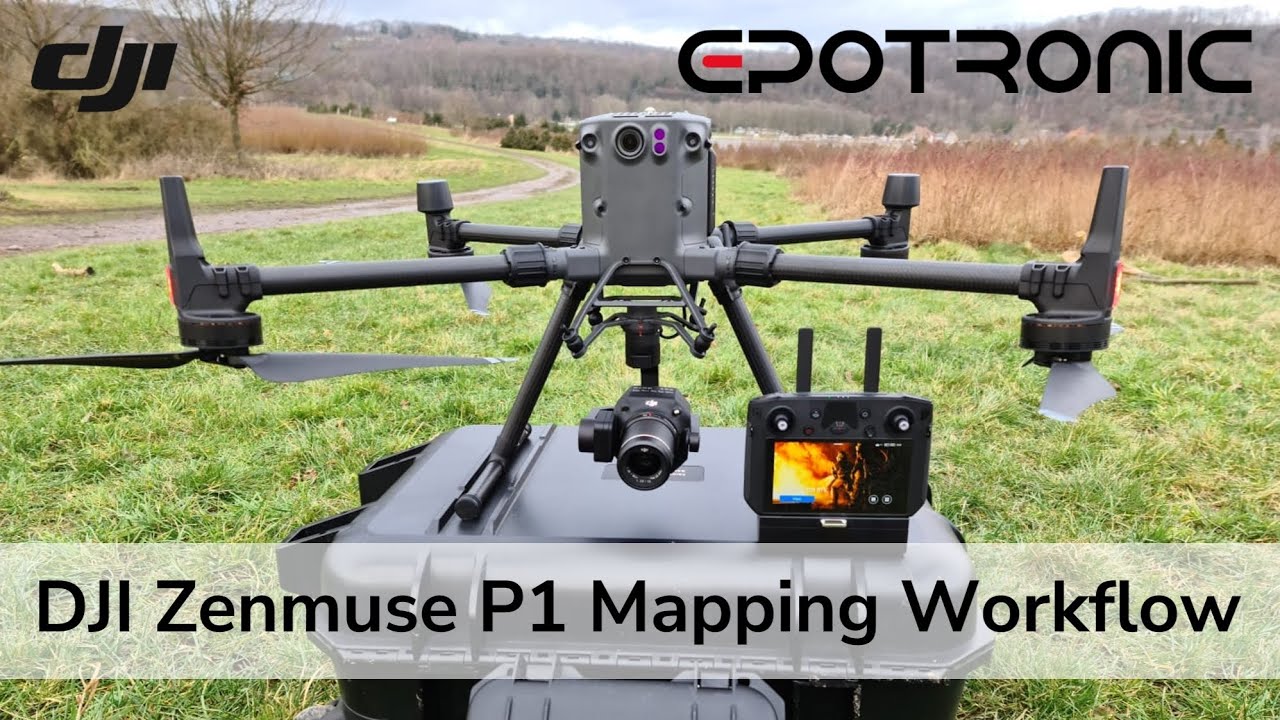
In this video we guide you through a topographic surveying mission of a construction site using the DJI Zenmuse P1, a purpose-built aerial surveying payload for the DJI Matrice™ 300 RTK. We highlight the key preparation considerations and tips, including flight planning, GCPs, RTK GNSS methods, and data capture and a brief overview of processing. For a more detailed workflow of processing photogrammetry data such as from the P1, watch our video focussed on just that using DJI Terra at • DJI Terra V3 Walkthrough - Photogrammetry ... .
If you would like to find out more about the different outputs that can be generated from drone data, let us know in the comments below.
Please note - Some sequences have been sped up to assist with the production of this video.
Do you have any further questions? Or Want to know more? Get in touch with us at [email protected] for more information or advice.
Epotronic GmbH are a European Enterprise Reseller for SZ DJI Technology Co.
Повторяем попытку...
Доступные форматы для скачивания:
Скачать видео
-
Информация по загрузке:


