Скачать
Улучшение производительности больших поверхностей Civil 3D с помощью диспетчера отображения карт
Автор: Jerry Bartels
Загружено: 2016-12-19
Просмотров: 47304
Описание:
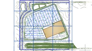
В этом видео (10 минут) я показываю, как использовать несколько инструментов на вкладке «Менеджер отображения карты» панели задач «Карта» для повышения производительности при работе с большими объектами поверхности Civil 3D. Проще говоря, мы перекладываем ответственность за отображение контуров на Map, который обрабатывает информацию значительно быстрее, чем Civil 3D.
Дополнительные советы и рекомендации можно найти на сайте http://civilimmersion.typepad.com
Не удается загрузить Youtube-плеер. Проверьте блокировку Youtube в вашей сети.
Повторяем попытку...
Повторяем попытку...

Доступные форматы для скачивания:
Скачать видео
-
Информация по загрузке: