Скачать
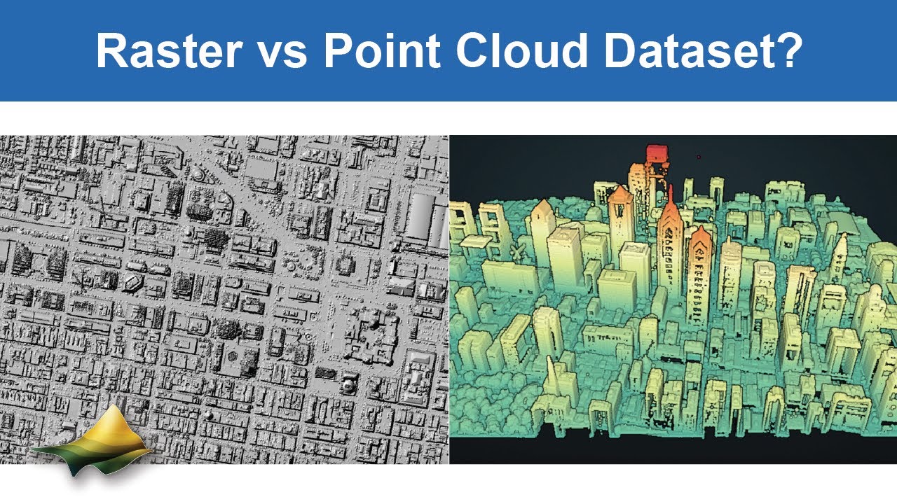
When Should I Use Raster vs Point Cloud Dataset?
Автор: OpenTopography
Загружено: 2026-01-20
Просмотров: 39
Описание:
This video discusses when it is best to use a raster dataset versus a point cloud dataset for topographic analysis.
https://opentopography.org/
OpenTopography facilitates community access to high-resolution, Earth science-oriented topography data and related tools and resources
Не удается загрузить Youtube-плеер. Проверьте блокировку Youtube в вашей сети.
Повторяем попытку...
Повторяем попытку...
Доступные форматы для скачивания:
Скачать видео
-
Информация по загрузке: