EarthStar® Ultra-Deep Resistivity Service
Автор: Halliburton
Загружено: 2021-03-25
Просмотров: 2927
Описание:
Knowing the location, size, and shape of the reservoir can help operators place wells accurately the first time, every time. At Halliburton, we can help operators reduce reservoir uncertainty to lower costs, make better-informed geosteering decisions, and efficiently plan for future field development.
The EarthStar® ultra-deep resistivity service from Halliburton Sperry Drilling is an industry-leading, logging-while-drilling (LWD) service that is proven to map reservoir and fluid boundaries up to 225 feet (68 meters) from the wellbore – over twice the depth of detection of the previous industry standard.
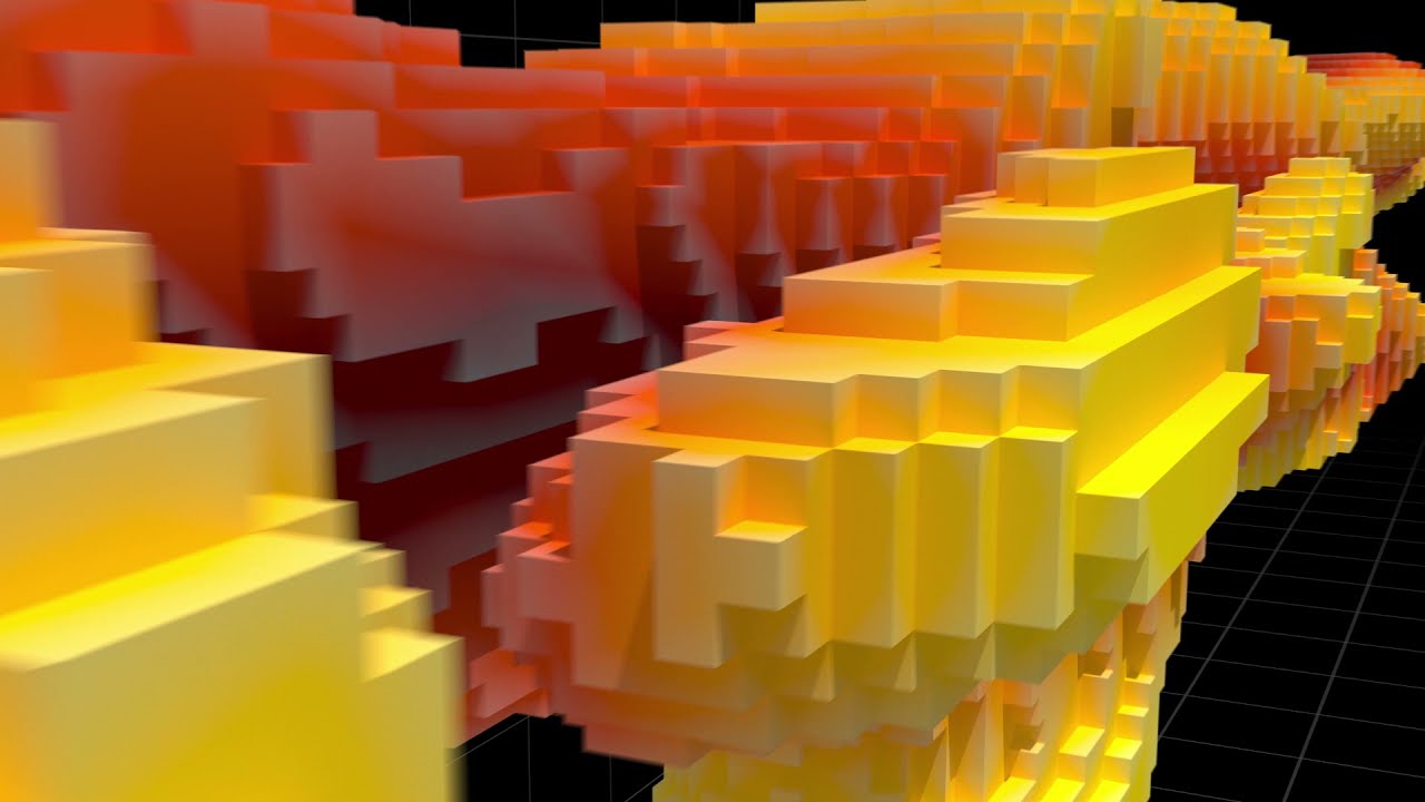
Formation measurements from the EarthStar® ultra-deep resistivity service are integrated into our proprietary RoxC® real-time geosteering software, which features fast calculation speeds and a real-time visualization of the reservoir structure in three dimensions. We offer the industry’s only 3D inversion capability, which provides operators with an unmatched visualization of the true structure of their reservoir helping to enhance reservoir understanding.
© 2021 Halliburton. All Rights Reserved.
Повторяем попытку...
Доступные форматы для скачивания:
Скачать видео
-
Информация по загрузке: