aero3Dpro High-Resolution 3D models in Google Earth
Автор: Aerometrex
Загружено: 2013-04-07
Просмотров: 7799
Описание:
We are currently witnessing the emergence of a new trend in the geospatial industry: the use of aerial photogrammetry techniques to generate 3D models of our environment and a mainstream access to these new models/3D maps.
Map users got for the first time public access to 3D city models generated from aerial photogrammetry through Nokia's maps based on an automatic system from C3 technologies. In late 2011,Apple bought C3 technologies to provide identical 3D maps.
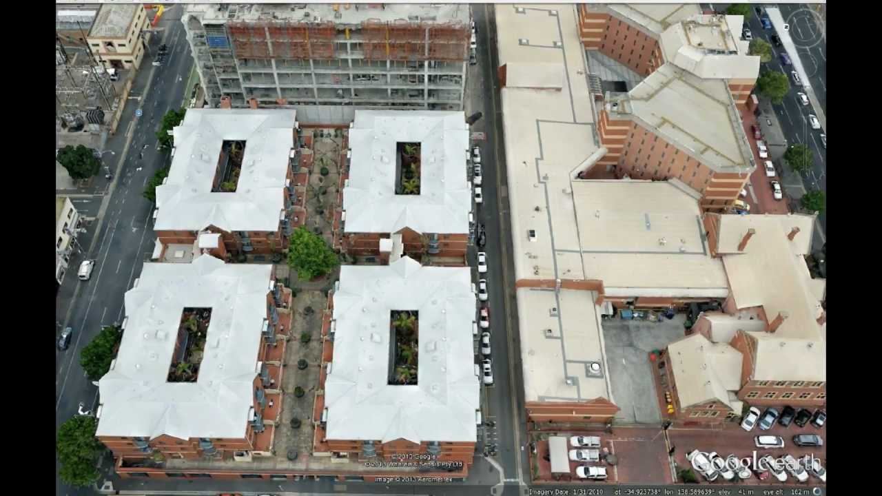
Based on a similar mapping technology, Google is currently adding a new type of 3D maps. You can see a few examples available in Google Earth 7.
It is just a question of time until other big players join the race. Who will be next?
While these new 3D maps give the general public an exciting new way to visualize the world, these new datasets designed to cover large areas lack accuracy and resolution.
This is where we, at AEROmetrex, enter the game with aero3Dpro:
Also based on aerial photogrammetry techniques, aero3Dpro 3D models have been specifically designed to generate high-resolution, geographically accurate and fully textured 3d models of natural and urban environment to provide geospatial solutions to clients where high accuracy is needed.
This video gives an example of how aero3Dpro models look like in Google Earth.
To learn more, visit http://aero3dpro.com.au
Повторяем попытку...
Доступные форматы для скачивания:
Скачать видео
-
Информация по загрузке:


![[Tutorial] Extract Google Earth 3D models with Pix4D and PV*SOL premium 2018](https://image.4k-video.ru/id-video/B7Dd-FDKYgo)


