Seismic 3D Imaging | Oil & Gas School
Автор: Oil & Gas Videos
Загружено: 2014-03-06
Просмотров: 43499
Описание:
Like our Facebook: / oilvips
Twitter: / oilvips
And Don't forget to subscribe to our channel
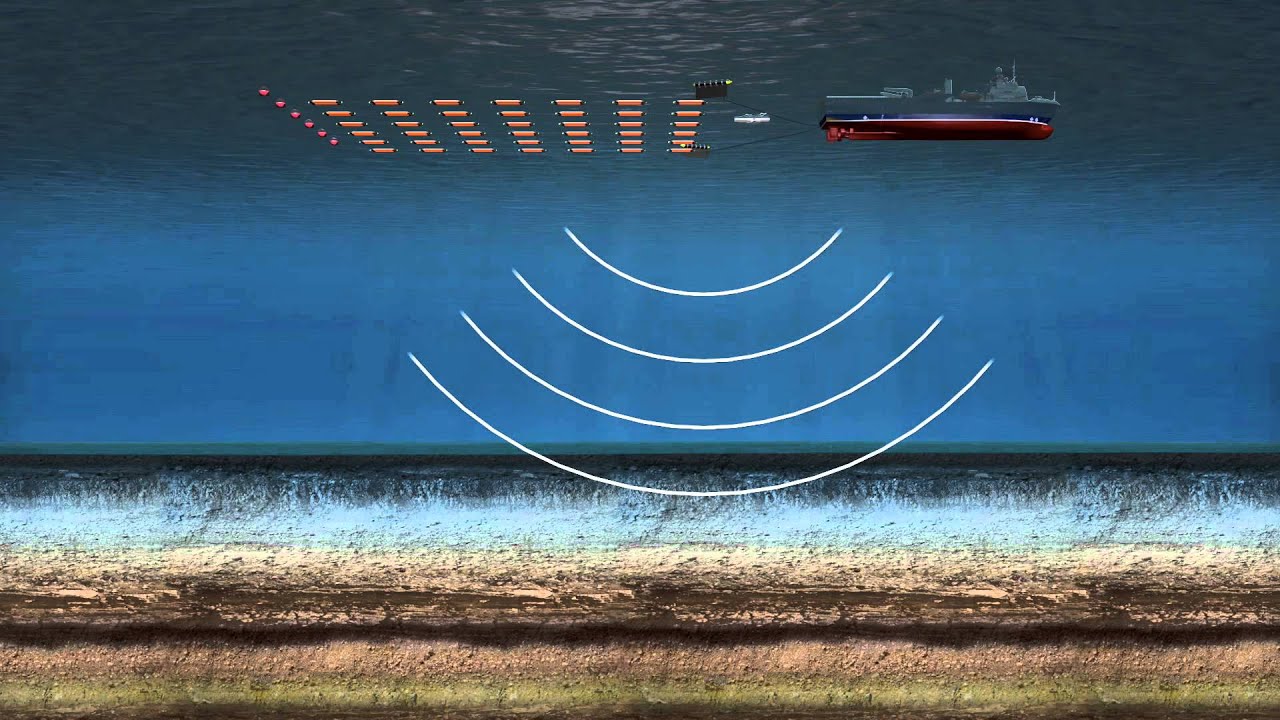
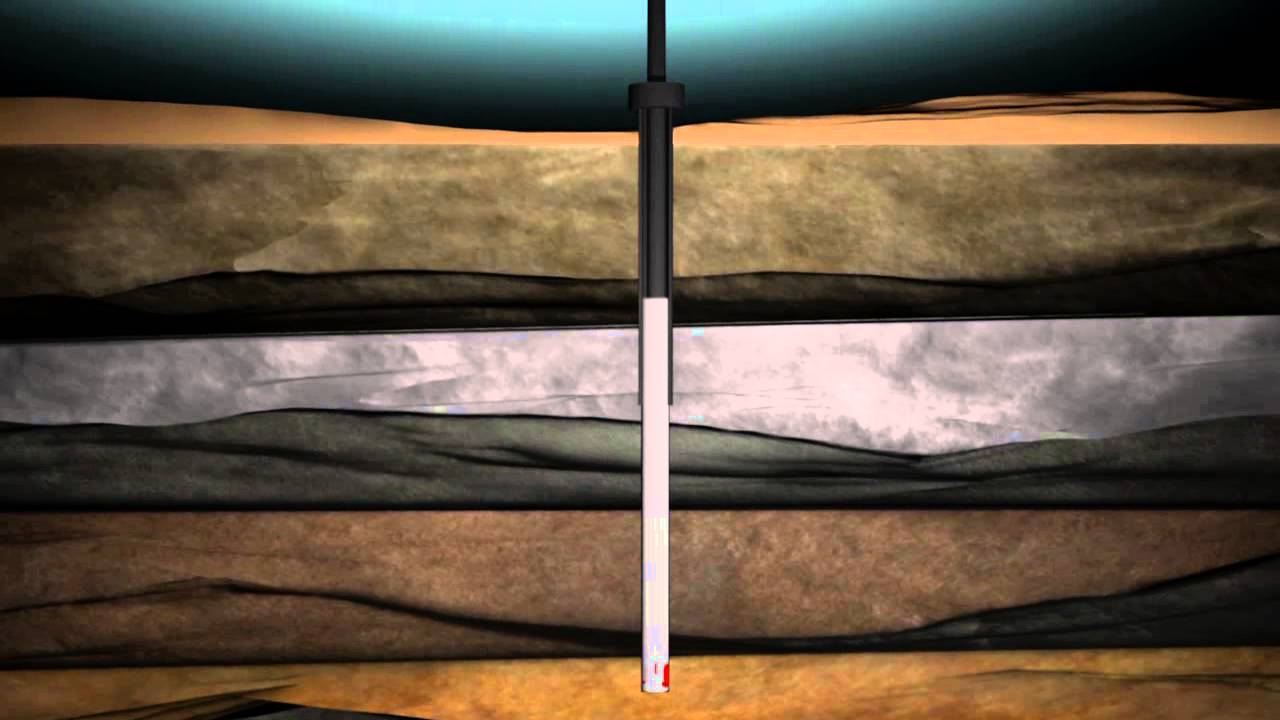
To spot hydrocarbon accumulations, several methods are available to the geophysicist. Among these, one can use seismic, which consists of making a veritable echography of the substratum. A shock on the surface of the ground produces sound waves, which are refracted and reflected below the ground surface. As they pass from one layer to another, their propagation is modified.
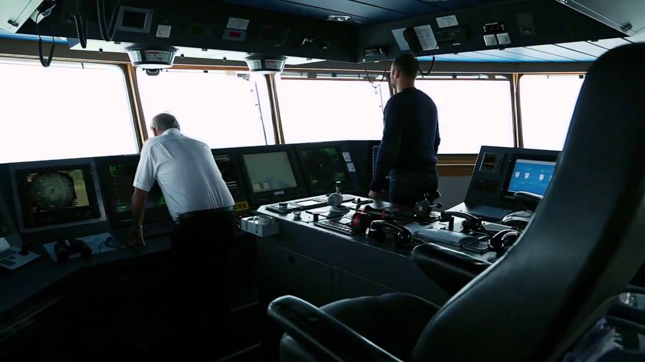
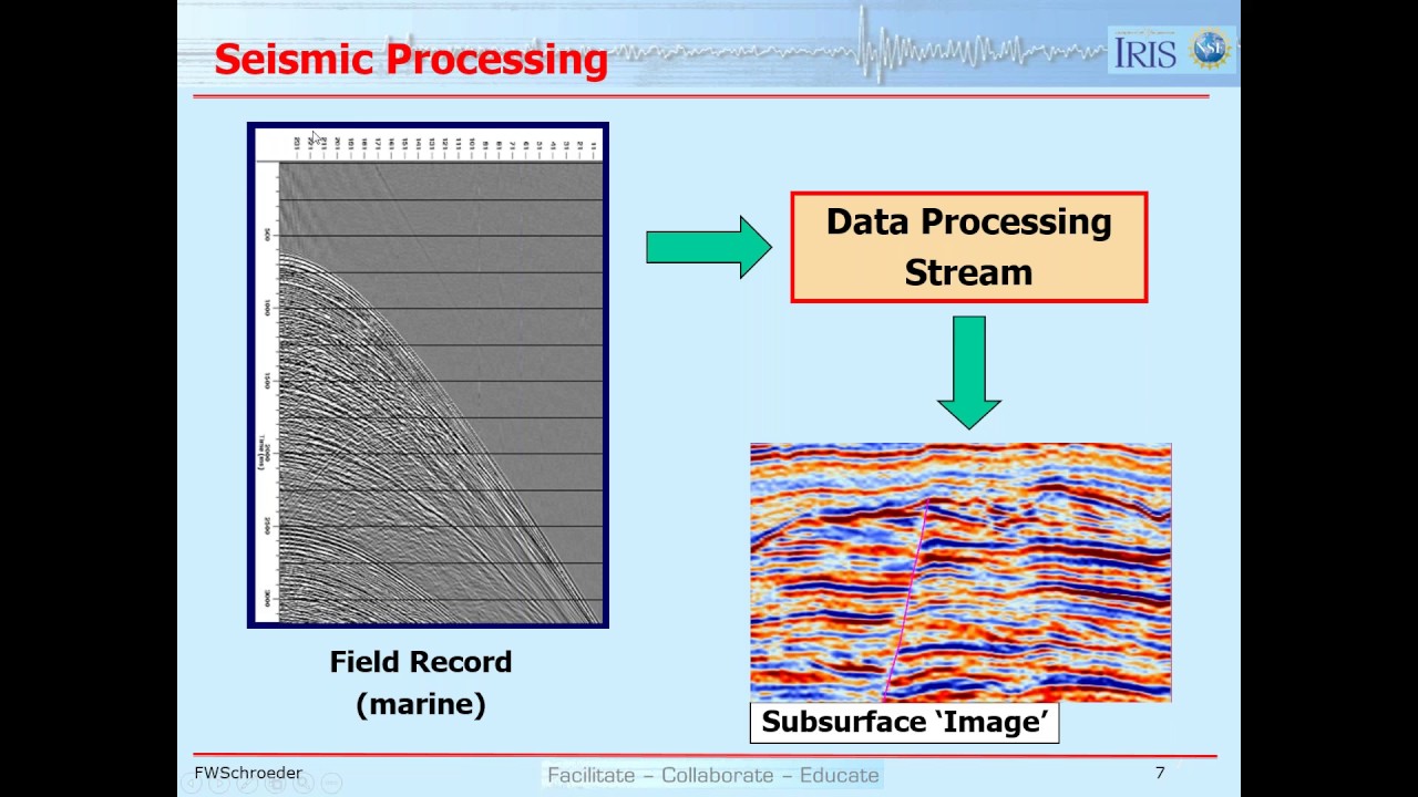
The geophysicist, with the aid of a series of very sensitive microphones called "geophones", listens to and records the wave echo from the surface. Reconnaissance of the land being impracticable at sea, use is systematically made of seismic methods. And as a ship moves freely in all directions, the seismic measurements are easier to obtain at sea than on land. The seismic recordings collected by the geophysicist are analysed by highly powerful computers. Thus, images are obtained, in two or three dimensions of the layers constituting the substratum. This seismic imaging is analysed to find out if certain layers are likely to contain hydrocarbons.
Повторяем попытку...

Доступные форматы для скачивания:
Скачать видео
-
Информация по загрузке: