Driving Through Nkeyema
Автор: The Tourist In Me
Загружено: 2025-08-27
Просмотров: 99
Описание:
ABOUT NKEYEMA
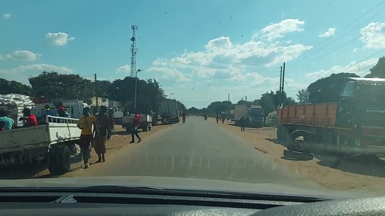
Nkeyema was declared a district in July 2012 to enhance service delivery and bringing development closer to the people. The district has one constituency and eight wards with an overall current population of 106,074 (Zambia Statistics Agency, 2022). The District is located in the northeastern part of Western Province, 360 km west of Lusaka, the Capital City of Zambia, and 230 km east of Mongu, the Provincial Capital of Western Province. The district lies between 14.8508° latitude and 25.1493° longitude, with an elevation of 1,170 meters above sea level, and a total surface area of 3,525 km². The Administrative Boundary of Nkeyema District borders with Kaoma District on the western side, Luampa District on the Southern end, Mumbwa District on the eastern side, and Mumfumbwe District on the Northern end. The beauty of its geographical terrain is enhanced by two (2) major plains namely Loloma Plains located 23km northwest and Kayula Plain located 25km southwest of the district administrative centre.
Economic Activities
Nkeyema is predominantly a rural district with almost the entire district population living in rural setups. Given the rural nature of the district, the agriculture sector is the economic mainstay of Nkeyema district with prime production in tobacco, maize, groundnuts, and Livestock (cattle, pigs, goats and poultry). Nkeyema district has earned itself the tag of the food basket for Western Province due to massive agriculture production.
Повторяем попытку...
Доступные форматы для скачивания:
Скачать видео
-
Информация по загрузке:


