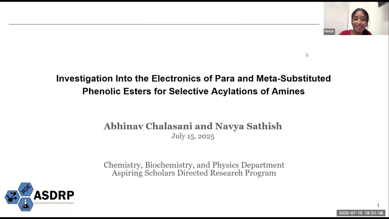
Using Drones for Environmental Mapping and Forest Health Assessment
Автор: ASDRP
Загружено: 2025-05-31
Просмотров: 98
Описание:
241203
Department of Computer Science & Engineering
Using Drones for Environmental Mapping and Forest Health Assessment
With the increasing concern for environmental conservation, there is a growing need for efficient methods of environmental mapping and forest health assessments. However, traditional methods employed by the U.S Forest Health Monitoring have faced controversy due to limited spatial resolution and integration of modern technologies. This colloquium presentation discusses the application of machine learning algorithms in autonomous drones to conduct forest health assessments. Autonomous drones have the ability to collect timely, up-to-date data, which offers enhanced accuracy. This study focuses on training Deep Learning (DL) models to classify different environmental features based on aerial imagery captured by drones. To achieve accurate and efficient data collection, we will utilize Red-Green-Blue imaging and Convolutional Neural Networks (CNN) with the appropriate evaluation metrics, such as the Normalized Difference Vegetation Index (NDVI) and foliage color, to create tree classes and identify forest health indicators. By integrating machine learning algorithms into forest health assessment, this study provides a more efficient, accurate, and up-to-date approach to monitor and evaluate the well-being of forests—supporting ongoing efforts towards environmental management and conservation.
RESEARCHERS: Benjamin Schmidt, Leigh High School '26; Sreesh Srinivasan, Mission San Jose High School '25
ADVISOR: McMahan Lab, Quantum Computing & Computer Science
KEYWORDS: Drones | Environment
Повторяем попытку...

Доступные форматы для скачивания:
Скачать видео
-
Информация по загрузке: