Geo-RemoteSensing
Welcome to Geo-RemoteSensing — your go-to destination for exploring the powerful intersection of the physical world and digital Earth technologies.
Curated by Dr. Harimohan Bhandari, this channel is dedicated to simplifying complex concepts in Geography, Remote Sensing, GIS, Cartography, and Geospatial Analysis.
Subscribe now and join me on a journey to decode the Earth through the lens of geospatial science and geographic insight.

How to Digitize Toposheet in ArcGIS | Area Calculation in ArcGIS | Step by Step

How to Create Slope Map in QGIS | Terrain Analysis Tutorial | DEM to Slope in QGIS

How to Create Map Layout in QGIS | Map Design Tutorial for Beginners

How to Download, Install & Enable SAGA GIS | Enable SAGA Tools in QGIS |

How to Delineate Watershed in QGIS | Step-by-Step Tutorial |

How to Clip Study Area from Mosaicked DEM in QGIS | Clip Raster by Mask Layer & Extent |

How to Mosaic DEMs in QGIS 🛰️ | Merge DEM Tiles Easily in QGIS |

How to Clip Study Area from Mosaic Toposheet in ArcGIS |Clip Raster using Shapefile|

How to Mosaic Toposheet in ArcGIS | Merge Maps in ArcGIS | Toposheet Mosaic Tutorial |

How to Georeference Google Earth Image in QGIS | Georefrenceing in QGIS using GCPs |

How to Add Google Maps in QGIS | Easy Trick to Add All Google Map Types |

How to Make Location Map in ArcGIS | Highlight State & District | ArcGIS Tutorial for Beginners |

How to Make Elevation Map in ArcGIS | Reclassify Tool, Dissolve, Area Calculation|

How to Composite, Mosaic & Clip Landsat Images in ArcGIS | ArcGIS Tutorial for Beginners |

🗺️ How to Project & Reproject Raster in QGIS 🎯 | QGIS Tutorial 🌍 |

Getting Started with QGIS Tutorial | QGIS for Beginners |

How to Download Sentinel-2 Images | Copernicus Data Space Ecosystem |

Georeference Toposheet in QGIS | QGIS Tutorial for Beginners |

How to Download & Install Latest Version of QGIS 2025

How to Download Google Earth Image & Georeference in ArcGIS | Step by Step Tutorial
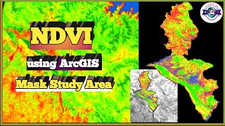
How to Create NDVI in ArcGIS Using Landsat Data | Step by Step GIS Tutorial

Land Use Land Cover (LULC) Mapping in ArcGIS | Supervised Classification|
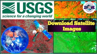
How to Download Satellite Images Free | Landsat Data for GIS & LULC Mapping

How to Calculate Drainage Density in ArcGIS | Watershed Analysis | Stream Length & Basin Area|

Slope Reclassification & Area Calculation in ArcGIS | Step-by-Step Tutorial

How to Generate Drainage Network and Stream Order in ArcGIS| Hydrology Analysis Tutorial

Sub-Watershed Delineation in ArcGIS | Hydrology Analysis 🌊 | Step-by-Step Tutorial

Create Grid Index Map in ArcGIS |Grid Index Features 🗺️ |

Clip Toposheet in ArcGIS | Step-by-Step Tutorial 🗺️
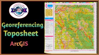
Georefrenceing Toposheet in ArcGIS| Step-by-Step Tutorial🗺️