Otto Yu

GVI Interactive map, Hong Kong Demo

PanoSAM: Unsupervised Segmentation Using the SAM Model for Point Cloud Data from Panoramic Images

Aligning Individualised tree point cloud with manual and ICP

地址搜尋服務 (支援廣東話語音輸入 - 同音異字處理)

TransD Intelligent Carpark meter API fetching sample

Batch Download the Hong Kong Digital Terrain Model from CSDI
【CloudCompare】Basic Segmentation for classification and deep learning model training
![[Java] Color based Segmentations sample with Boat](https://ricktube.ru/thumbnail/4kCWhmrF5mg/mqdefault.jpg)
[Java] Color based Segmentations sample with Boat
![[Java] Survey Target Point Cloud Segmentation](https://ricktube.ru/thumbnail/AsB-q6quF68/mqdefault.jpg)
[Java] Survey Target Point Cloud Segmentation
![Tree Segmentation with Two Canopy Height model and Li's methods in R [Code included]](https://ricktube.ru/thumbnail/AMZDcXcCBHY/mqdefault.jpg)
Tree Segmentation with Two Canopy Height model and Li's methods in R [Code included]
![Tree Segmentation with canopy height model method in R [Code included]](https://ricktube.ru/thumbnail/WBP0bSYmByo/mqdefault.jpg)
Tree Segmentation with canopy height model method in R [Code included]

Tree Defects Diagnosis with AI - Forestree, Remote Sensing and Forestry

Meshing and modelling with different point cloud data in CloudCompare

GIS NDVI Change detection with CSDI Open data

Mis-stitching RGB color points corrections in CloudCompare

Basic Point Cloud Processing with CloudCompare

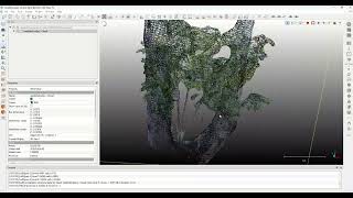
Simple tree visualization with point cloud in CloudCompare

Tree leaf and trunk segmentation with its point dimension and density

Tree Inventory with Airborne LiDAR Point Cloud | Urban condition 2

【ArcGIS Pro】Correlation between hydraulic influence to the detected changes

【ArcGIS Pro】Correlation between the hiking influence to the detected changes

【ArcGIS Pro】3DGIS-03 mesh model geo-referencing via quick import

【ArcGIS Pro】Bounding and clipping raster with the target area

Weighted mean and standard deviation computation with calculator and program

【Microstation】Clip reference basemap in V8i

10秒識別 | Tree Condition Classification 樹況分類 Demo video 🌳

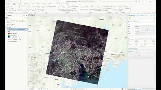
【EarthExplore】Prepare for land surface temperature generation from Landsat9

Introduction to the Digital Terrain model statistics with Python

【ArcGIS Pro】Supervised image segmentation and classification | step by steps
【ArcGIS Pro】Landsat 8/9 index computation