Jess Zimmerman
I create professional maps for print publishing. As a designer-turned-cartographer, I like to share tips and techniques with other designers who need to create maps and want them to look great. I also offer a custom mapping service through my website. Most of my YouTube videos use QGIS and Adobe Illustrator.

Working with the National Hydrography Dataset

Простые профили рельефа в QGIS

Working with text data files in QGIS

Easy Swiss-style relief with Eduard

Creating 3D maps in Vue

Getting Started with GIMP

GIMP для QGIS (особенно GeoTIFF!)

ArcGIS Maps for Adobe CC

Создание 3D-карт в QGIS

Использование данных ArcGIS Online в QGIS

Эффективное использование шрифтов на картах

Print Basics

Getting Started with QGIS

Рисование изогнутых фигур в QGIS

Использование данных OSM в QGIS

Really Useful QGIS Plugins

Using shapeburst fills in QGIS

Использование пользовательских иконок SVG в QGIS
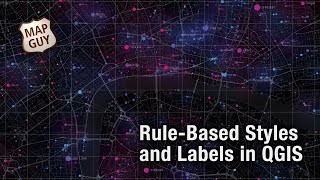
Использование стилей и меток на основе правил в QGIS

Создание 3D-зданий истинной высоты в QGIS

Использование изображений Google Earth в QGIS

Creating Extruded Maps in Adobe Illustrator

Using Graduated Symbols in QGIS

QGIS Output Resolution

Создание винтажной карты Шелкового пути

Editing GEOTiffs in Photoshop

Georeferencing in QGIS

Create a Parchment Map in Adobe Illustrator

Advanced Data Attributes in QGIS

Working with Attributes in QGIS