Data and GIS Tutorials
Hi, this channel offers tutorial videos using Open-Source software's such as QGIS, as well as Google Earth and more.
@Per-GIS-English

Editing in QGIS: Donut polygons, islands, split, merge.

QField with QField Cloud: Existing QGIS Project with Photos

How to GEOREFERENCE a scanned map or an image QGIS

Create Map Themes in QGIS and QFIELD

QField: SHARE and COLLABORATE with others using QField Cloud

QField: Collect data with No Internet OR No Data Conexion / QField Cloud

How to Create MBTiles in QGIS
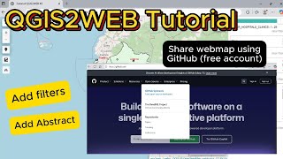
QGIS2WEB with GITHUB, and how to add filters and abstract - Part 2

QField for QGIS: Conditional Visibility Forms

QGIS: How to Create Centroids from Polygons and Calculate Lat/Long (X,Y) #qgis

QField: Connect an external GPS via Bluetooth /Testing Garmin GLO 2 #qgis #qfield

Improve your photos in QFIELD! 🖼️Geo-tagged photos, reduce the size, and export

Learn how to update your QFIELD for QGIS Project, step by step!

🖼️Pop-ups with photos in QGIS2WEB/#qgis

QField with QFIELD Cloud: How to use Related tables | #qgis

Creating a WebMap using QGIS2WEB plugin in QGIS - Part 1

Capture One or more Photos with QField/ QField Cloud #qgis

Convert a KML to Shapefile in QGIS | Step by Step

QField for QGIS: Learn how to upload a project to QField using QField Cloud