GIS with Raja Usama
Welcome to GIS Learning with Raja Muhammad Usama!
Unlock the power of Geographic Information Systems (GIS) and Remote Sensing with our comprehensive tutorials and insights. Whether you're a GIS beginner or an experienced analyst, this channel offers valuable resources to enhance your skills and knowledge.
What You'll Learn:
GIS Tutorials: Master ArcGIS, QGIS, and other GIS software with our step-by-step guides.
Remote Sensing: Discover techniques for processing and analyzing satellite imagery and aerial data.
Spatial Data Analysis: Learn how to manage, analyze, and visualize geospatial data effectively.
Programming for GIS: Automate workflows and enhance your projects using Python and R.
Real-World Projects: Explore in-depth case studies and project walkthroughs.
Why Subscribe?
GIS tutorials
Learn ArcGIS
QGIS training
Remote sensing techniques
Spatial data analysis
Python for GIS
R programming for GIS
Geospatial data visualization
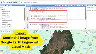
Export Sentinel-2 Image from Google Earth Engine with Cloud Mask

Export Sentinel-2 Image in Google Earth Engine | GEE Sentinel 2

How to import shapefiles into GEE in 2min?

Export Districts shapefile in GEE : Google earth engine

Select by attribute in QGIS: A Complete guide

Export Countries Shapefile from Google Earth Engine (GEE)

Slope, Hillshade & Aspect - Terrain analysis in Google Earth Engine

DEM data in GEE (SRTM) - Quick export and visualization

JavaScript Basics in Google Earth Engine (GEE)

Google Earth Engine Tutorial - GEE interface overview

Google Earth Engine Tutorial - GEE sign in 2min:

Terrain Analysis in QGIS: Slope and Aspect Analysis

Calculate LST from Landsat 8 || LST map in ArcGIS

Dem data analysis in QGIS || Learn QGIS

NDWI in ArcGIS and Threshold Masking

How to create NDVI maps

QGIS for Beginners : Easy Guide to Learn QGIS

ArcGIS heat map complete tutorial
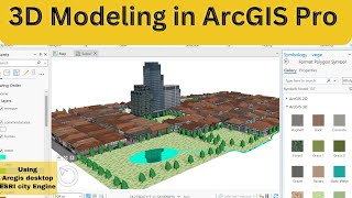
Shapefiles to 3D: Using ArcGIS Pro & ESRI CityEngine for Realistic Texturing

Arcgis rising water level animation in ArcScene

Model builder tool in arcgis - Part 1

Calculating NDVI in Erdas Imagine 2015

Clip raster data in Erdas imagine

Convert shapefile to aoi | erdas imagine

Make Shapefile and AOI in Erdas Imagine

Watershed delineation and 3D watershed in ArcGIS

Clip, dissolve, buffer, union, merge, intersect tool in QGIS

Vehical routing Problem (VRP) in arcgis : Network analysis tool

Band composite in erdas imagie 2015 | Stacking of Bands

Watershed delineation in arcgis | stream order extraction