cdp-mapsync /geosync cloud
MapSync

Quick Access to TN Terrain Data using GeoSync Z-Tools

North Carolina Lidar Extract Points and Contour

LAZ Points Using InRoads Exported Alignment

DEM Points from InRoads DXF Export

KY Elev Seminar Overview and Intro

KY Elevation Seminar Software Install

GeoSync Go Plus New User

Floor plan measuring tool for Geoslam point clouds

GeoSync GO Viewer of Bridge Scanned with ZEB REVO

GeoSync GO Cloud Lidar Point Cloud Demo

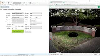
3D Scene Map - Creating a Feature

Render Point Cloud using Elevation with GeoSync GO Cloud 3D Publisher

Publish a Georeferenced Point Cloud with GeoSync GO 3D Publisher

Sharing Basics using GeoSync GO 3D Publisher

Annotation Basics using GeoSync GO 3D Publisher
Measuring Basics using GeoSync GO 3D Viewer

Basic Navigation of GeoSync GO 3D Viewer

Publishing Your First Point Cloud with GeoSync GO

3D Publisher Install and Authorization

CDP 3d Survey Deliverables

Create GeoSync GO Plus from SQLite Layer

Create GO Plus Layer from ArcMap

Update Existing Feature Information using GeoSync GO Plus

Select and Deselect Features in GeoSync GO Plus

Move Point to GPS Location using GeoSync GO Plus

Move a point using GeoSync GO Plus

Link photos to new or existing features in GeoSync GO Plus

Capture User Point with GeoSync GO Plus

Capture GPS Point using GeoSync GO Plus

Draw Polygon using GeoSync GO Plus